- Parkers Creek
-
Tanbi Wetland Complex 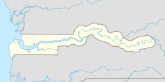

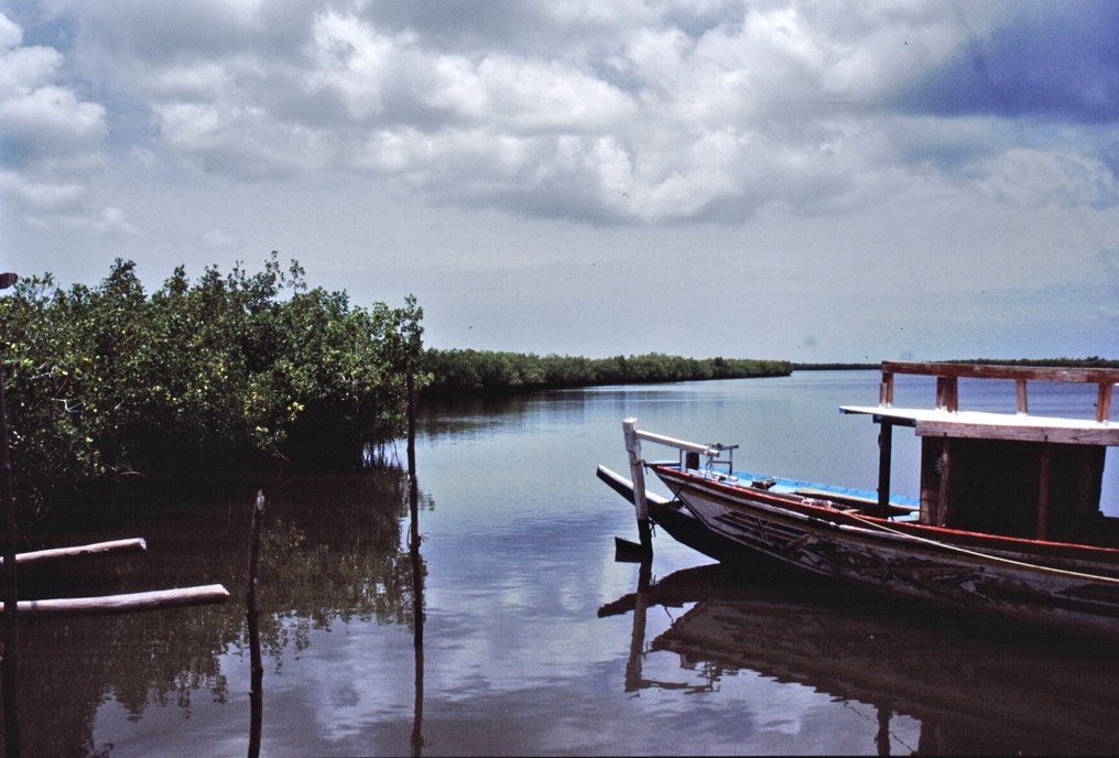
Lage: GBA, Gambia Besonderheit: Mangrovenwald Nächste Stadt: Banjul Fläche: 4500 ha Gründung: 2001 Besucher: öffentlich Tanbi Wetland Complex in der Nähe der Lamin Lodge Tanbi Wetland Complex in der Nähe der Lamin Lodge
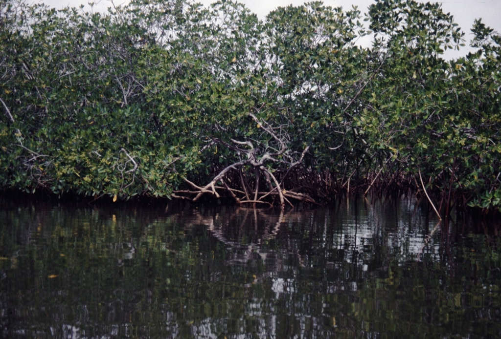
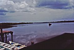 Mangrovenwald
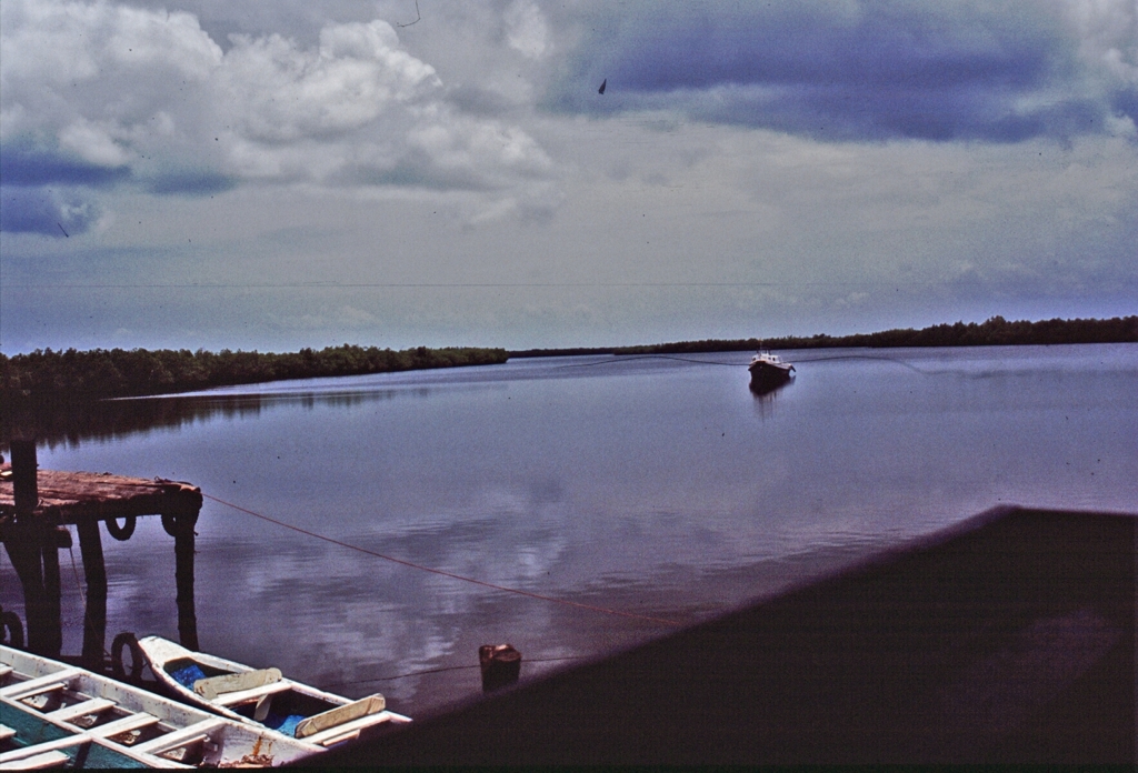
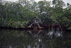 Piroge am Oyster Creek
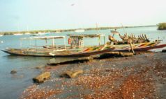
Der Tanbi Wetland Complex ist ein ausgedehntes Naturschutzgebiet eines Mangrovenwaldes im westafrikanischen Staat Gambia.
Inhaltsverzeichnis
Geographie
Der 4500 Hektar, nach anderer Quelle 6000 ha große Tanbi Wetland Complex liegt westlich der Mündung des Gambia-Flusses in den Atlantischen Ozean. Nordwestlich ist das Gebiet durch die Insel St. Mary’s Island begrenzt, auf der sich die Hauptstadt Banjul befindet. Die Insel wird durch den Kanal Oyster Creek getrennt. Über diesen Kanal führt die Denton Bridge zum Festland in ost-westlicher Richtung. Im Westen liegt Gambias größte Stadt Serekunda, weiter südlich schließen sich die Orte Abuko und Lamin an.
In seinem dichten Kanalnetz fließen einige Nebenflüsse des Gambia wie der Lamin Bolong und der Daranka Bolong, die sich zum Lamin-Daranka-Channel vereinigen. Weiter sind dort zu nennen der Mandinari Bolong, Cape Creek, Parkers Creek, Turnbull Bolong und der Chitabong Bolong.
Namentlich aufgezeichnete Inseln in diesem Gebiet sind Chitabong Island, Daranka Island und Lamin Island.
Das ganze Gebiet steht unter dem Einfluss von Salzwasser – der so genannten Brackwasserzone, es finden sich zahlreiche verschlungene Mangroven. Zahlreiche Sumpf- und Wasservögel lassen sich hier beobachten.
Siehe auch
Literatur
- Jojo Cobbinah: Senegal, Gambia: praktischer Reiseführer an die Westküste Afrikas. Meyer, Frankfurt am Main 2001, ISBN 3-89859-103-4
- Ilona Hupe: Gambia. Kleines Urlaubsparadies in Westafrika. Hupe Ilona Verlag, 1999, ISBN 3-932084-19-5
- Rosel Jahn: Gambia: Reiseführer mit Landeskunde; mit einem Reiseatlas. Mai, Dreieich 1997, ISBN 3-87936-239-4
Weblinks
- Tanbi Wetland Complex www.prcmarine.org
- Tanbi wetland complex www.birdlife.org
13.416666666667-16.616666666667Koordinaten: 13° 25′ 0″ N, 16° 37′ 0″ W

Wikimedia Foundation.