- San Miguel Island
-
San Miguel Island Ranger-Station auf der Insel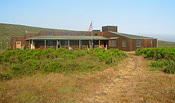
Gewässer Pazifischer Ozean Inselgruppe Kanalinseln Geographische Lage 34° 2′ N, 120° 22′ W34.039166666667-120.37055555556253Koordinaten: 34° 2′ N, 120° 22′ W 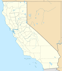

Länge 13 km Breite 6 km Fläche 37,74 km² Höchste Erhebung San Miguel Hill
253 mEinwohner (unbewohnt) Karte der Kanalinseln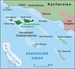
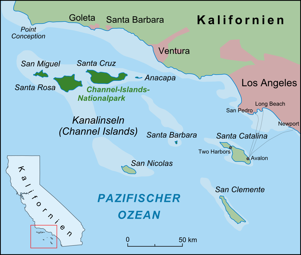
San Miguel Island ist eine Insel, die zur Inselgruppe der kalifornischen Kanalinseln gehört. Sie ist mit 37,74 km² die sechstgrößte von acht Inseln und liegt im Santa Barbara County.
San Miguel Island ist dreizehn Kilometer lang und bis zu sechs Kilometer breit. Von 1850 bis 1948 brachten Viehzüchter Schafe auf die Insel, später nutzte die US Navy die Insel. Heute ist San Miguel Bestandteil des Channel-Islands-Nationalparks.
Weblinks
 Commons: San Miguel Island – Sammlung von Bildern, Videos und Audiodateien
- San Miguel Island beim National Park Service (englisch)
- Über die Geschichte von San Miguel Island (englisch)
Nördliche Gruppe: Anacapa | San Miguel | Santa Cruz | Santa Rosa
Südliche Gruppe: San Clemente | San Nicolas | Santa Barbara | Santa Catalina
Wikimedia Foundation.
Schlagen Sie auch in anderen Wörterbüchern nach:
San Miguel Island — For the Portuguese island, see São Miguel Island. San Miguel Island is the westernmost of California s Channel Islands and the sixth largest of the eight at convert|9325|acre|km2|2|abbr=off|lk=off, including offshore islands and rocks. Prince… … Wikipedia
San Miguel Island — Sp Sán Migèlio salà Ap San Miguel Island L Ramiajame vand., Sąsiaurio ss., JAV (Kalifornija) … Pasaulio vietovardžiai. Internetinė duomenų bazė
San Miguel Island, Albay — San Miguel Island is located at the western end of the strip of islands in the Lagonoy Gulf in the province of Albay. It is part of Tabaco City.The other islands on this strip are Cagraray Island, Batan Island and Rapu rapu Island … Wikipedia
San Miguel Island — Île San Miguel Aerial view of San Miguel L île de San Miguel est la plus à l ouest de l archipel, et la sixième plus grande avec une superficie de 37,74 km². Elle fait partie du Comté de Santa Barbara. Elle reçoit des vents de nord ouest et un… … Wikipédia en Français
San Nicolas Island — w1Vorlage:Infobox Insel/Wartung/Höhe fehlt San Nicolas Island Luftaufnahme von San Nicolas Gewässer Pazifischer Ozean … Deutsch Wikipedia
San Miguel — San Miguel, Spanish for Saint Michael, describes numerous locations.Places in the world*Angola **San Miguel Fort *Argentina **San Miguel Partido **San Miguel, Buenos Aires **San Miguel Arcángel (Buenos Aires), a Volga German colony in Adolfo… … Wikipedia
San Miguel — ist die spanische Bezeichnung für den Erzengel Michael. Nach ihm sind benannt: Inhaltsverzeichnis 1 Argentinien 2 Bolivien 3 Chile 4 Ecuador … Deutsch Wikipedia
San Miguel, Bicol — San Miguel Island is an island located a few kilometers to the east of Tabaco City in Lagonoy Gulf. The island can only be reach via a motorized banca from the city. It is comprised of five barangays comprises the island, namely: Angas, Hacienda … Wikipedia
San Clemente Island — NASA Bild von San Clemente Island Gewässer Pazifischer Ozean … Deutsch Wikipedia
San Nicolas Island — Île San Nicolas Pour les articles homonymes, voir San Nicolás. Les Channel Islands, en face de Los Angeles. L île de … Wikipédia en Français
San Miguel Island


18+
© Academic, 2000-2024
- Kontaktieren Sie uns: Unterstützung, Werbung
Wörterbücher Export, schritte mit PHP, Joomla, Drupal, WordPress, MODx.