- Seventy Islands
-
Ngerukeuid-Inseln Chelbacheb-Inseln (Rock Islands)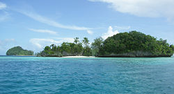
Gewässer Pazifischer Ozean Anzahl der Inseln ca. 40 Hauptinsel --- Gesamtfläche 0,2 km² Einwohner (unbewohnt) Geographische Lage 7° 11′ N, 134° 16′ O7.1775134.26583333333Koordinaten: 7° 11′ N, 134° 16′ O 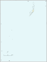

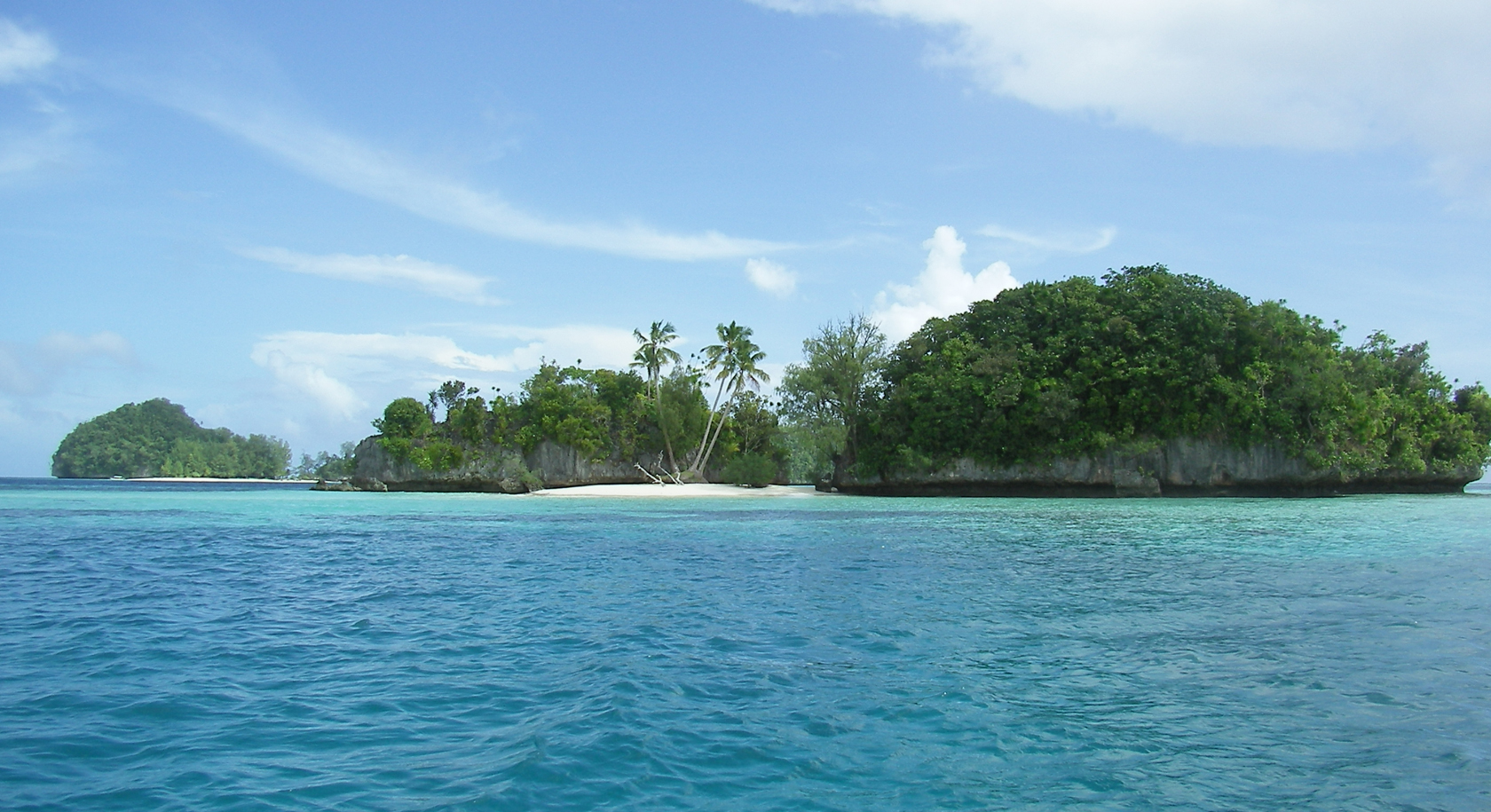
Die Ngerukeuid-Inseln, auch als Seventy Islands bekannt, sind eine unbewohnte Inselgruppe der pazifischen Inselrepublik Palau. Sie liegen im Südwesten des Archipels der Chelbacheb-Inseln (Rock Islands).
Es handelt sich um etwa 40 kleine, flache und dicht bewaldete Inseln. Diese werden heute vielfach von Tauchtouristen von den größeren Inseln Koror, Peleliu oder Ngercheu aus angefahren.
Weblinks

Inseln: Angaur | Arakabesan | Babelthuap | Dmasech | Dongosaro | Eil Malk | Fanna | Helen Island | Kayangel | Koror | Malakal | Merir | Ngercheu | Ngeriungs | Peleliu | Pulo Anna | Tobi
Inselgruppen: Chelbacheb | Kayangel | Mecherchar | Ngemelis | Ngeroi | Ngerukeuid | Sonsorol | Ulebsechel | Ulong | Urukthapel | (Südwest-Inseln)

Wikimedia Foundation.