- Baywood-Los Osos
-
Baywood-Los Osos 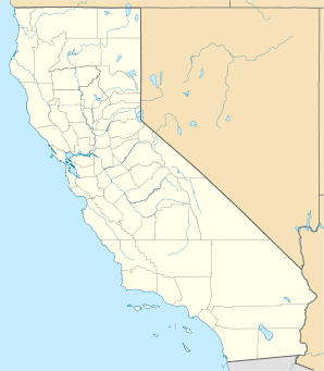

Baywood-Los Osos Lage in KalifornienBasisdaten Staat: Vereinigte Staaten Bundesstaat: Kalifornien County: Koordinaten: 35° 19′ N, 120° 50′ W35.31-120.8440Koordinaten: 35° 19′ N, 120° 50′ W Zeitzone: Pacific Standard Time (UTC−8) Einwohner: 14.351 (Stand: 2000) Bevölkerungsdichte: 728,5 Einwohner je km² Fläche: 19,7 km² (ca. 8 mi²)
davon 19,7 km² (ca. 8 mi²) LandHöhe: 40 m Postleitzahl: 93402 Vorwahl: +1 805 FIPS: 06-04541 GNIS-ID: 245183 Baywood-Los Osos ist eine Stadt im San Luis Obispo County im US-Bundesstaat Kalifornien, Vereinigte Staaten, mit 15.000 Einwohnern (Stand: 2004). Die geographischen Koordinaten sind: 35,31° Nord, 120,84° West. Das Stadtgebiet hat eine Größe von 19,8 km².
Kategorien:- Ort in Kalifornien
- San Luis Obispo County

Wikimedia Foundation.