- Bet Island
-
Bet Island
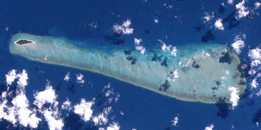
(Bet Islet)Landsat-Bild von Bet Island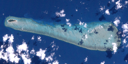
Bet Island ganz links, Vin Islet halb rechts.Gewässer Pazifischer Ozean Inselgruppe The Three Sisters Geographische Lage 10° 8′ 45″ S, 142° 49′ 11″ O-10.145833333333142.819722222221Koordinaten: 10° 8′ 45″ S, 142° 49′ 11″ O 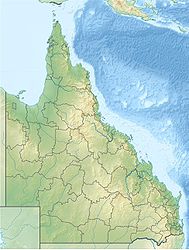

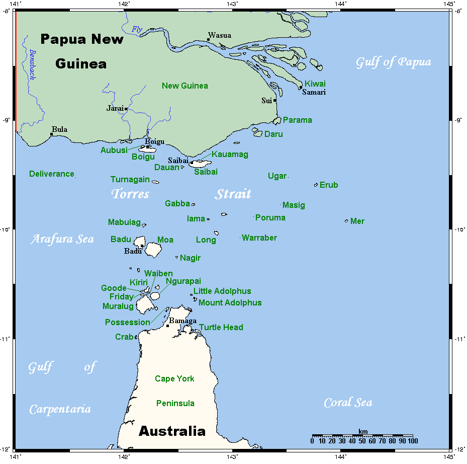
Fläche 0,1767 km² Höchste Erhebung 1 m Einwohner (unbewohnt) Lage der Torres-Strait-Inseln
Bet Island, auch Bet Islet genannt, ist eine australische Insel im Zentrum des Archipels der Torres-Strait-Inseln. Sie liegt im Norden der Inselgruppe The Three Sisters und ist etwa 6,3 km von Sue Island, der einzig bewohnten Insel der "Three Sisters", entfernt.
Bet Island mit einer Landfläche von knapp 17,7 ha ist von einem dichten, 13 km langen und bis zu 3 km breiten Korallenriff (Bet Islet Reef) mit einer Fläche von 28,7 km² eingefasst. Außer Bet, das ganz im Westen liegt, befindet sich im Riff noch die kleine Insel Vin Islet, 10° 9′ S, 142° 55′ O-10.148888888889142.92333333333 auf dem östlichen Riffkranz, mit einer Fläche von einem Hektar.
Verwaltungstechnisch zählt Bet Island (nebst Vin Islet) zu den Central Islands, einer Inselregion im Verwaltungsbezirk Torres Shire von Queensland.
Siehe auch
Kategorien:- Unbewohnte Insel
- Insel (Australien und Ozeanien)
- Insel (Queensland)
- Insel (Pazifischer Ozean)
- Insel (Torres-Strait-Inseln)
Wikimedia Foundation.