- Batemans Marine Park
-
Der Batemans Marine Park ist etwa 850 km² groß und erstreckt sich vom Murramarang Beach nahe am Bawley Point im Norden bis zum Wallaga Lake im Süden entlang der Ostküste innerhalb der Dreimeilenzone von New South Wales in Australien. Das Meeresschutzgebiet umfasst auch die Feuchtgebiete, Bäche, Flüsse und See, außer dem Nargal Lake, soweit sie der Tidenhub erfasst.
Der Park ist benannt nach Nathaniel Bateman, einem Schiffsoffizier, der auf der Endeavour diente. James Cook benannte am 22. April 1770 nach ihm eine Meeresbucht Batemans Bay. Das Meeresschutzgebiet wurde im April 2006 proklamiert.[1]
Inhaltsverzeichnis
Meeresfauna und -flora
In den Gewässern des Parks befinden sich Delfine, Meeresschildkröten, Wirbellose, Seetang und Fische wie Seedrachen, der in Australien endemische Eastern Blue Devil Fish (Paraplesiops bleekeri), der Lippfisch Anampses elegans und der Sandtigerhai. Zahlreiche Wale wie Buckelwal, Südkaper, Grindwal und Schwertwal können in den Monaten von September bis November jeden Jahres im Meeresschutzgebiet gesichtet werden.
Innerhalb des Meerespark befindet sich das Montague Island Natur Reserve mit der Montague-Insel, die für die Aborigines von großer kultureller Bedeutung ist. Auf dieser Insel brüten ewa 40.000 Seevögel, darunter 3 Arten von Sturmtauchern, ferner Seeschwalben, Silberkopfmöwen und zwischen 8.000 bis 12.000 Zwergpinguine. Um die Montague Island im Süden und die Tollgate Islands im Norden des Parks schwimmen Sandtigerhaie.[1]
-

Paraplesiops bleekeri
-

Grindwal
-

Seedrachen
-

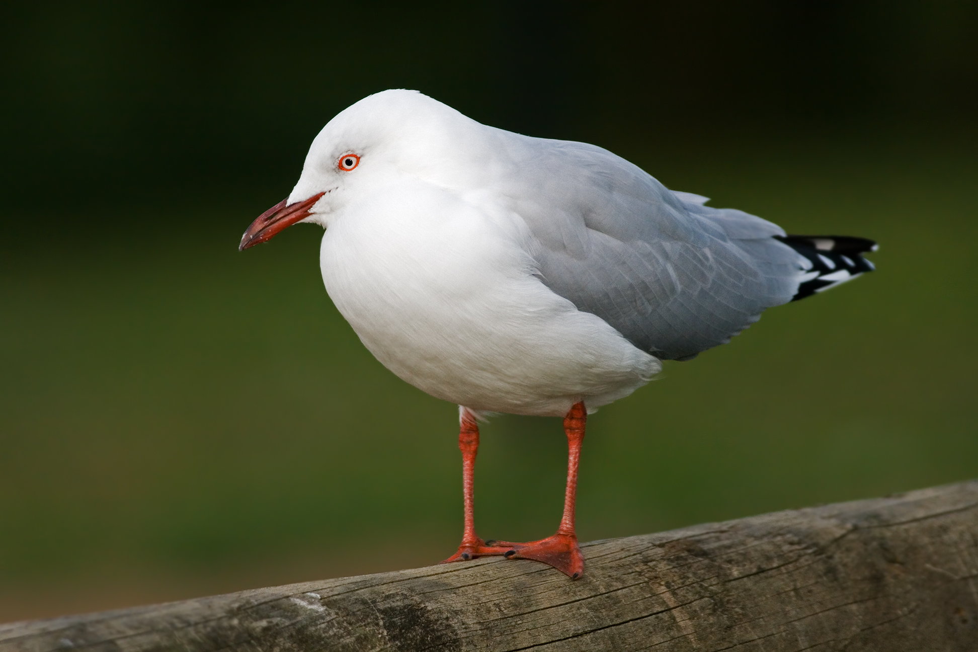
Silberkopfmöwe
Freizeit und Kommerz
In dem Meerespark wird von Erholungssuchenden gefischt, geschwommen, gesurft, getaucht und mit Booten Wassersport betrieben.
Die kommerzielle Nutzung im Park ist eingeschränkt; verboten ist das Fischen mit Netzen und langen Leinen und das Baggern.[1]
Weblinks
- environment.nsw.gov.au: Batemans Marine Park (mit Lageplan) (englisch)
- mpa.nsw.gov.au: Batmans Marine Park (mit Abbildungen von Meerestieren) (englisch)
Einzelnachweise
- ↑ a b c mpa.nsw.gov.au: Marine Parks Authority: Batmans Marine Park, in englischer Sprache, abgerufen am 22. August 2011
-35.848987150.199585Koordinaten: 35° 50′ 56″ S, 150° 11′ 59″ OKategorien:- Nationalpark in Australien und Ozeanien
- Nationalpark in New South Wales
- Meerespark (Australien)
-


Wikimedia Foundation.