Birnie Loch

Birnie Loch
Birnie Loch
Birnie Loch
Birnie Loch
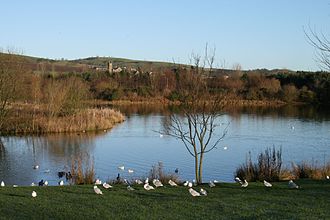
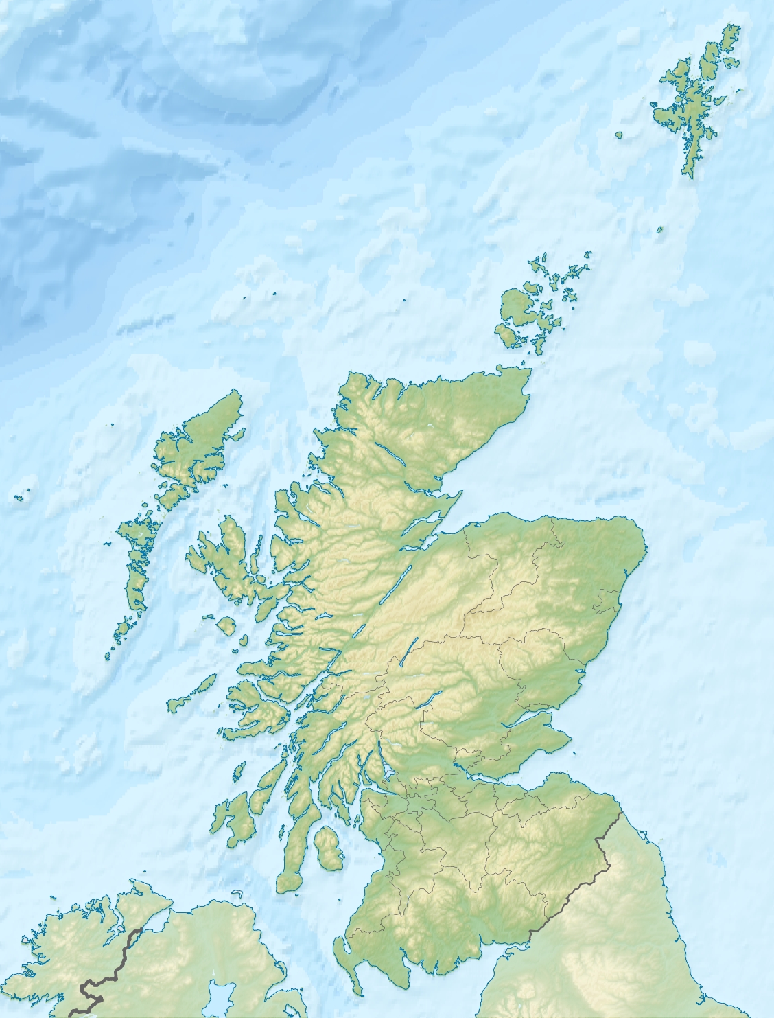
Geographische Lage Schottland
Daten
Koordinaten 56° 18′ 4″ N, 3° 9′ 25″ W56.301111111111-3.1569444444444Koordinaten: 56° 18′ 4″ N, 3° 9′ 25″ W
Birnie Loch (Schottland)
Birnie Loch

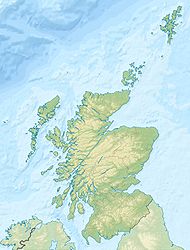
Birnie Loch ist ein Baggersee in den schottischen Lowlands. Er liegt etwa 10 km nördlich von Glenrothes an der Kreuzung der A91 und der B937 in der Council Area Fife in unmittelbarer Nähe des Dorfes Collessie.

Der See war früher eine Kiesgrube. Der Abbau von Kies und Sand ist mittlerweile eingestellt und der See wurde von der ehemaligen Abbaugesellschaft der anliegenden Gemeinde überlassen. Seit 1991 ist Brinie Loch ein Schutzgebiet für Wildvögel. Im Gegensatz zu anderen Schutzgebieten dieser Art ist der See nicht eingezäunt, sondern öffentlich zugänglich.

Weblinks


Wikimedia Foundation.

Игры ⚽ Поможем решить контрольную работу

Schlagen Sie auch in anderen Wörterbüchern nach:

  • Birnie Loch — Infobox lake lake name = Birnie Loch image lake = Birnie Loch dec 06 (400080952).jpg caption lake = image bathymetry = caption bathymetry = location = North East Fife, Scotland coords = Coord|56|18|4|N|3|9|25|W|region:GB… …   Wikipedia

  • Liste schottischer Lochs — Loch ist das schottisch gälische Wort für einen See oder eine Meeresbucht, einen Fjord (englisch Firth). Das Wort, lɔx, «loch» mit kehligem «ch» ausgesprochen, ist verwandt mit dem altirischen Lough, rekonstruierte indogermanische Wurzel… …   Deutsch Wikipedia

  • List of lochs in Scotland — The following is a list of lochs in Scotland. Loch is a Scottish Gaelic word for a lake or fiord, cognate with the Irish Gaelic lough , which has been borrowed by Scots and Scottish English to apply to such bodies of water, especially those… …   Wikipedia

  • Liste des lochs d'Écosse — Ce qui suit est une liste des lochs d Écosse. Cette liste est loin d être exhaustive: seuls les plus connus sont répertoriés. Il a été estimé qu il y a au moins 31 460 lacs d eau douce en Écosse, et plus de 7 500 dans les Hébrides extérieures… …   Wikipédia en Français

  • Glen Albyn (distillerie) — Pour les articles homonymes, voir Glen Albyn. Glen Albyn Distillerie Pays …   Wikipédia en Français

  • Lossiemouth — Infobox UK place official name= Lossiemouth gaelic name= Inbhir Losaidh scots name= Lossie local name= country= Scotland map type= Scotland population= 6803 population density= os grid reference= NJ235705 edinburgh distance= london distance=… …   Wikipedia

  • Diocese of Moray — Coordinates: 57°21′36″N 3°46′59″W / 57.360°N 3.783°W / 57.360; 3.783 This article is about the mediaeva …   Wikipedia

  • Kilbirnie —    KILBIRNIE, a parish, in the district of Cunninghame, county of Ayr, 3 miles (W. by N.) from Beith; containing 2631 inhabitants. This place derives its name from the term Kil, signifying a church, chapel, or monastic cell, and Birnie, or… …   A Topographical dictionary of Scotland

  • Mannochmore — Distillerie Pays Écosse Ville Elgin (Speyside) Coordonnées …   Wikipédia en Français

  • Spynie Palace — p3 Spynie Palace Der David’s Tower mit Teilen der Ruine Entstehungszeit …   Deutsch Wikipedia

Share the article and excerpts

Direct link
Do a right-click on the link above
and select “Copy Link”