- Bystričany
-
Bystričany
Wappen Karte 
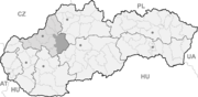

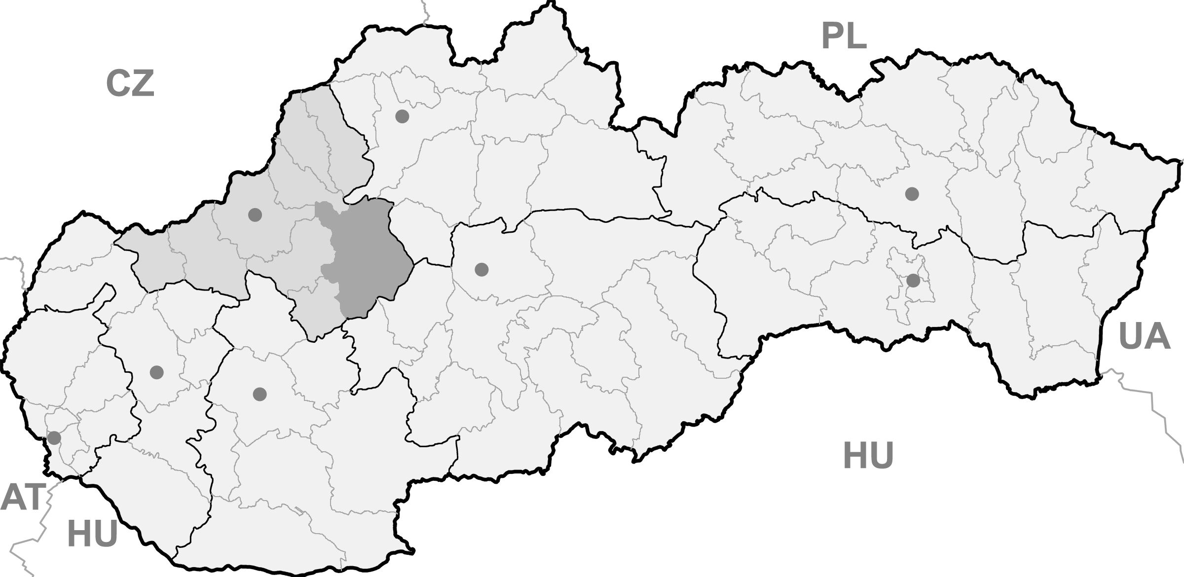
Bystričany BasisdatenKraj: Trenčiansky kraj Okres: Prievidza Region: Horná Nitra Fläche: 37,607 km² Einwohner: 1.862 (31. Dez. 2010) Bevölkerungsdichte: 49,51 Einwohner je km² Höhe: 330 m n.m. Postleitzahl: 972 45 Telefonvorwahl: 0 46 Geographische Lage: 48° 40′ N, 18° 31′ O48.65861111111118.513888888889330Koordinaten: 48° 39′ 31″ N, 18° 30′ 50″ O Kfz-Kennzeichen: PD Gemeindekennziffer: 513911 StrukturGemeindeart: Gemeinde Gliederung Gemeindegebiet: 3 Gemeindeteile Verwaltung (Stand: Februar 2011)Bürgermeister: Vojtech Bartoš Adresse: Obecný úrad Bystričany
Mirka Nešpora 1/17
97245 BystričanyWebpräsenz: www.bystricany.sk Gemeindeinformation
auf portal.gov.skStatistikinformation
auf statistics.skBystričany (deutsch Bistrizin, ungarisch Besztercsény - bis 1907 Bisztricsény) ist ein Dorf und Gemeinde im Okres Prievidza in der Region Trenčín in der Westslowakei.
Geschichte
Die erste urkundliche Erwähnung des Ortes war 1388. 1921 wurde hier Anton Neuwirth geboren. 1924 wurden die Dörfer Chalmová und Vieska eingemeindet, welche auch heute Gemeindeteile bilden.
Geographie
Die Gemeinde liegt in einer Höhe von etwa 260 Metern und umfasst eine Fläche von 37.607 km², unterhalb des Vogelgebirge. Der Gemeindeteil Chalmová liegt direkt am Fluss Nitra. Die Anzahl der Einwohner beträgt 1820 (Stand 2009).
Weblinks
Gemeinden im Okres PrievidzaBojnice (Weinitz) | Bystričany (Bistrizin) | Cigeľ (Ziegel) | Čavoj (Sauershau) | Čereňany | Diviacka Nová Ves (Divickneudorf) | Diviaky nad Nitricou (Divick) | Dlžín | Dolné Vestenice (Unterwestenitz) | Handlová (Krickerhau) | Horná Ves | Horné Vestenice (Oberwestenitz) | Chrenovec-Brusno | Chvojnica (Fundstollen) | Jalovec | Kamenec pod Vtáčnikom (Kamenetz) | Kanianka | Kľačno (Gaidel) | Kocurany | Kostolná Ves (Kostolnadorf) | Koš (Andreasdorf) | Lazany | Lehota pod Vtáčnikom | Liešťany | Lipník | Malá Čausa (Kleintschauscha) | Malinová (Zeche) | Nedožery-Brezany | Nevidzany | Nitrianske Pravno (Deutschproben) | Nitrianske Rudno | Nitrianske Sučany | Nitrica | Nováky | Opatovce nad Nitrou (Abtsdorf) | Oslany | Podhradie | Poluvsie (Halbendorf) | Poruba (Nickelsdorf) | Pravenec (Kleinproben) | Prievidza (Priwitz) | Radobica | Ráztočno | Rudnianska Lehota | Sebedražie (Siebenandreas) | Seč | Šútovce (Schutotz) | Temeš | Tužina (Schmiedshau) | Valaská Belá | Veľká Čausa (Großtschauscha) | Zemianske Kostoľany (Edl-Kostolany)
Wikimedia Foundation.
Schlagen Sie auch in anderen Wörterbüchern nach:
Bystričany — (Village) Administration Pays Slovaquie … Wikipédia en Français
Bystričany — is a village and municipality in Prievidza District in the Trenčín Region of western Slovakia.HistoryIn historical records the village was first mentioned in 1388.GeographyThe municipality lies at an altitude of 260 metres and covers an area of… … Wikipedia
Branislav Obžera — Branislav Obžera Spielerinformationen Geburtstag 29. August 1981 Geburtsort Bystričany, Tschechoslowakei Position Mittelfeld Vereine in der Jugend … Deutsch Wikipedia
Malinová — Location of Prievidza District in the Trenčín Region Malinová (German: Zeche, Hungarian: Csék) is a village and municipality in Prievidza District in the Trenčín Region of western Slovakia. It lies about 15 km north of the town of Prievidza … Wikipedia
Nitrianske Pravno — Coordinates: 48°52′00″N 18°38′00″E / 48.8666667°N 18.6333333°E / 48.8666667; 18.6333333 … Wikipedia
Trenčín Region — Geobox | Region name = Trenčín other name = category = Region image caption = image caption = symbol = Trencin coat of arms.gif symbol type = Coat of arms etymology = official name = motto = nickname = country = Slovakia country state = region =… … Wikipedia
Prievidza District — District Country Slovakia Region … Wikipedia
Nová Lehota — (German: Neuhau) is a village and municipality in Prievidza District in the Trenčín Region of western Slovakia. Since 1976 it has been a part of the municipality of Handlová. History In historical records the village was first mentioned in 1487.… … Wikipedia
List of municipalities and towns in Slovakia — Slovakia This is a comprehensive list of municipalities and towns in Slovakia. For lists of towns and municipalities sorted by Regions see the individual articles on Regions. For an outdated list of towns only in Slovakia see also List of towns… … Wikipedia
Handlová — Coordinates: 48°43′38″N 18°45′43″E / 48.72722°N 18.76194°E / 48.72722; 18.76194 … Wikipedia
Bystričany

18+
© Academic, 2000-2024
- Kontaktieren Sie uns: Unterstützung, Werbung
Wörterbücher Export, schritte mit PHP, Joomla, Drupal, WordPress, MODx.