- Lanigan (Saskatchewan)
-
Lanigan 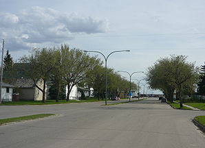
Die Hauptstraße in LaniganLage in Saskatchewan 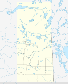

Lanigan Staat: Kanada Provinz: Saskatchewan Region: Saskatchewan Koordinaten: 51° 51′ N, 105° 2′ W51.85-105.033333Koordinaten: 51° 51′ N, 105° 2′ W Fläche: 8,34 km² Einwohner: 1233 (Stand: 2009) Bevölkerungsdichte: 147,8 Einw./km² Zeitzone: CST Postleitzahl: S0K 2M0 Gründung: 1907 Lanigan ist eine Ortschaft in der kanadischen Provinz Saskatchewan und liegt etwa 117 km östlich von Saskatoon. Die Ortschaft ist über den Saskatchewan Highway 16 und Saskatchewan Highway 20 zu erreichen. Lanigan zählt 1233 Einwohner (Stand 2006).[1]
Die Ortschaft verfügt über 560 Haushalte. Im Jahr 2006 betrug die Bevölkerungszahl 1233 Einwohner, dies bedeutete einen Rückgang von 4,3 Prozent im Vergleich zum Jahr 2001.[2] Lanigan umfasst eine Fläche von 8,34 km², die Bevölkerungsdichte beträgt 147,8/km².
Wichtige Wirtschaftszweige der Ortschaft sind die Stahlerzeugung, Kohleförderung und die Landwirtschaft.
Bekannte Persönlichkeiten
- Bobby Baun (* 1936), Eishockeyspieler
- Sheldon Brookbank (* 1980), Eishockeyspieler
- Wade Brookbank (* 1977), Eishockeyspieler
Weblinks
Einzelnachweise
Kategorie:- Ort in Saskatchewan


Wikimedia Foundation.