- Sebedražie
-
Sebedražie
Wappen Karte 
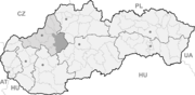

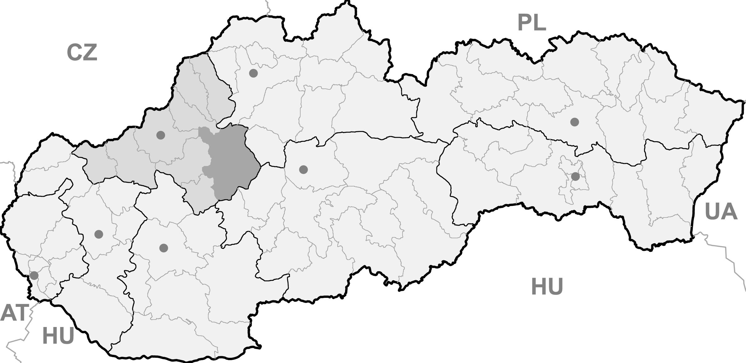
Sebedražie BasisdatenKraj: Trenčiansky kraj Okres: Prievidza Region: Horná Nitra Fläche: 8,439 km² Einwohner: 1.737 (31. Dez. 2010) Bevölkerungsdichte: 205,83 Einwohner je km² Höhe: 337 m n.m. Postleitzahl: 972 05 Telefonvorwahl: 0 46 Geographische Lage: 48° 44′ N, 18° 37′ O48.73055555555618.622222222222337Koordinaten: 48° 43′ 50″ N, 18° 37′ 20″ O Kfz-Kennzeichen: PD Gemeindekennziffer: 514373 StrukturGemeindeart: Gemeinde Verwaltung (Stand: November 2011)Bürgermeister: Peter Juríček Adresse: Obecný úrad Sebedražie
č. 489
972 22 SebedražieWebpräsenz: www.sebedrazie.sk Gemeindeinformation
auf portal.gov.skStatistikinformation
auf statistics.skSebedražie (deutsch Siebenandreas, ungarisch Szebed - bis 1907 Szebedrázs) ist eine Gemeinde im Westen der Slowakei, mit 1737 Einwohnern (Stand 31. Dezember 2010) und liegt im Okres Prievidza, der zum Trenčiansky kraj gehört.
Inhaltsverzeichnis
Geographie
Die Gemeinde liegt inmitten des Talkessels Hornonitrianska kotlina am Fuße des Vogelgebirges (Vtáčnik). Durch den Ort fließt der Bach Cigľanka, der weiter flussabwärts in die Handlovka mündet, kurz vor dem Zusammenfluss mit der Nitra. Das Ortszentrum ist fünf Kilometer von Prievidza entfernt.
Geschichte
Der Ort wurde zum ersten Mal 1245 als Scepredas schriftlich erwähnt.
Traditionell war die Landwirtschaft die Hauptbeschäftigung, heutzutage arbeitet die Mehrheit im Braunkohle-Bergwerk Cigeľ (seit 1962) östlich des Ortes oder in der Stadt Prievidza.
Sehenswürdigkeiten
- römisch-katholische Barborakirche aus dem 15. Jahrhundert
- seit 2003 Schaubergwerk im Bergwerk Cigeľ[1]
Einzelnachweise
Gemeinden im Okres PrievidzaBojnice (Weinitz) | Bystričany (Bistrizin) | Cigeľ (Ziegel) | Čavoj (Sauershau) | Čereňany | Diviacka Nová Ves (Divickneudorf) | Diviaky nad Nitricou (Divick) | Dlžín | Dolné Vestenice (Unterwestenitz) | Handlová (Krickerhau) | Horná Ves | Horné Vestenice (Oberwestenitz) | Chrenovec-Brusno | Chvojnica (Fundstollen) | Jalovec | Kamenec pod Vtáčnikom (Kamenetz) | Kanianka | Kľačno (Gaidel) | Kocurany | Kostolná Ves (Kostolnadorf) | Koš (Andreasdorf) | Lazany | Lehota pod Vtáčnikom | Liešťany | Lipník | Malá Čausa (Kleintschauscha) | Malinová (Zeche) | Nedožery-Brezany | Nevidzany | Nitrianske Pravno (Deutschproben) | Nitrianske Rudno | Nitrianske Sučany | Nitrica | Nováky | Opatovce nad Nitrou (Abtsdorf) | Oslany | Podhradie | Poluvsie (Halbendorf) | Poruba (Nickelsdorf) | Pravenec (Kleinproben) | Prievidza (Priwitz) | Radobica | Ráztočno | Rudnianska Lehota | Sebedražie (Siebenandreas) | Seč | Šútovce (Schutotz) | Temeš | Tužina (Schmiedshau) | Valaská Belá | Veľká Čausa (Großtschauscha) | Zemianske Kostoľany (Edl-Kostolany)
Wikimedia Foundation.
Schlagen Sie auch in anderen Wörterbüchern nach:
Sebedražie — (Village) Administration Pays Slovaquie … Wikipédia en Français
Sebedražie — Geobox | Settlement name = Sebedražie other name = category = Village image caption = symbol = etymology = official name = motto = nickname = country = Slovakia country state = region = Trenčín district = Prievidza commune = municipality = part … Wikipedia
Penzion & Restaurant Kozak — (Sebedražie,Словакия) Категория отеля: 2 звездочный отель Адрес: Zahrady … Каталог отелей
Malinová — Location of Prievidza District in the Trenčín Region Malinová (German: Zeche, Hungarian: Csék) is a village and municipality in Prievidza District in the Trenčín Region of western Slovakia. It lies about 15 km north of the town of Prievidza … Wikipedia
Nitrianske Pravno — Coordinates: 48°52′00″N 18°38′00″E / 48.8666667°N 18.6333333°E / 48.8666667; 18.6333333 … Wikipedia
Trenčín Region — Geobox | Region name = Trenčín other name = category = Region image caption = image caption = symbol = Trencin coat of arms.gif symbol type = Coat of arms etymology = official name = motto = nickname = country = Slovakia country state = region =… … Wikipedia
Prievidza District — District Country Slovakia Region … Wikipedia
Nová Lehota — (German: Neuhau) is a village and municipality in Prievidza District in the Trenčín Region of western Slovakia. Since 1976 it has been a part of the municipality of Handlová. History In historical records the village was first mentioned in 1487.… … Wikipedia
List of municipalities and towns in Slovakia — Slovakia This is a comprehensive list of municipalities and towns in Slovakia. For lists of towns and municipalities sorted by Regions see the individual articles on Regions. For an outdated list of towns only in Slovakia see also List of towns… … Wikipedia
Handlová — Coordinates: 48°43′38″N 18°45′43″E / 48.72722°N 18.76194°E / 48.72722; 18.76194 … Wikipedia
Sebedražie

18+
© Academic, 2000-2024
- Kontaktieren Sie uns: Unterstützung, Werbung
Wörterbücher Export, schritte mit PHP, Joomla, Drupal, WordPress, MODx.