- Dry Tortugas
-
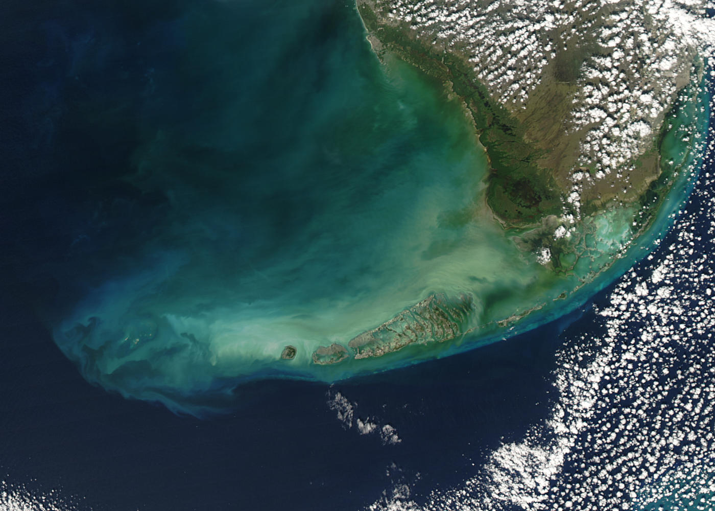
Dry Tortugas NASA-Aufnahme der Florida Keys, die Dry Tortugas am äußersten westlichen Ende
Gewässer Golf von Mexiko Archipel Florida Keys Geographische Lage 24° 38′ N, 82° 52′ W24.628611111111-82.873333333333Koordinaten: 24° 38′ N, 82° 52′ W 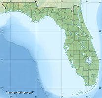

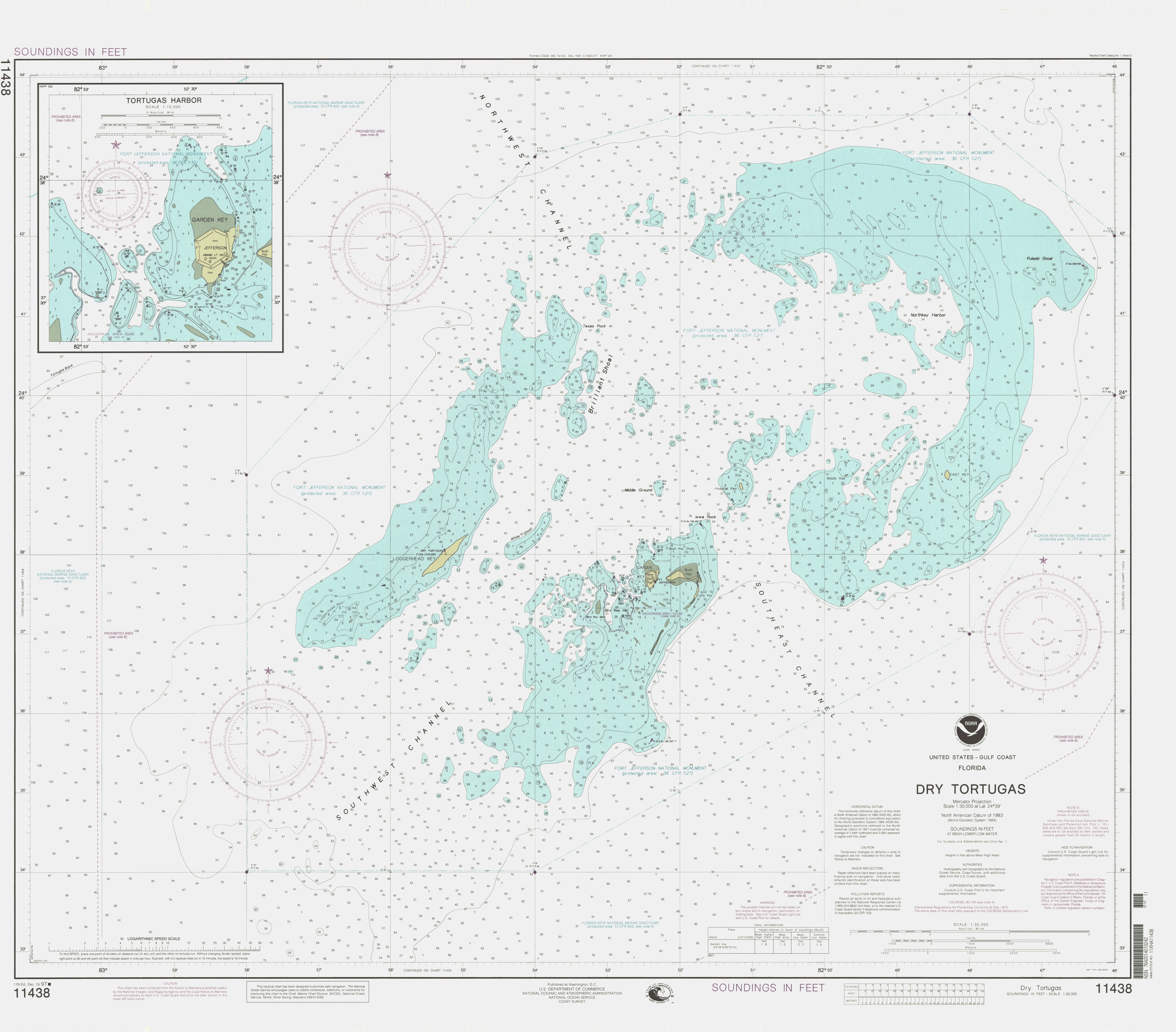
Anzahl der Inseln 7 Hauptinsel Garden Key Gesamtfläche 58,4 ha Einwohner (unbewohnt) Nautische Karte der Dry Tortugas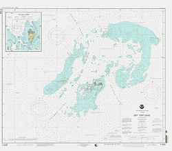
Die Dry Tortugas sind eine zu Florida gehörende, unbewohnte Inselgruppe im Golf von Mexiko. Sie stellen die äußerste, westlichste Gruppe der Florida Keys dar.
Die Inseln wurden 1513 von Juan Ponce de León entdeckt, der ihnen den Namen „Tortugas“ gab, nach den zahlreichen dort beobachteten Meeresschildkröten. Der Zuname „Dry“ (= trocken) wurde später hinzugefügt, um das Fehlen von Trinkwasser anzuzeigen.
Die Dry Tortugas bestehen aus sieben kleinen Inseln (Keys) mit einer Gesamtfläche von 584.000 m² (0,584 km²), einigen Sandbänken sowie unzähligen Korallenriffen.
Die Inseln sind:
- Loggerhead Key, mit 260.000 m² größte und mit bis 3 m Höhe höchste Insel. Auf ihr steht das Dry Tortugas Lighthouse (46 Meter hoch).
- Garden Key, 170.000 m² zweitgrößte Insel, mit Fort Jefferson und dem Garden Key Lighthouse (20 Meter hoch).
- Bush Key, 120.000 m².
- Long Key, 8.000 m²
- Hospital Key, 4.000 m²
- Middle Key, 6.000 m²
- East Key, 16.000 m²
Ehemalige Inseln, heute Sandbänke, sind:
- Southwest Key, 1875 versunken
- Bird Key, 1935 versunken
- North Key, 1875 versunken
- Northeast Key, 1875 versunken
Die Inselgruppe steht bereits seit 1908 unter Naturschutz und wurde 1992 mitsamt den sie umgebenden Gewässern zum Dry-Tortugas-Nationalpark erhoben.
Kategorien:- Unbewohnte Inselgruppe
- Inselgruppe (Florida)
- Inselgruppe (Nordamerika)
- Inselgruppe (Golf von Mexiko)
- Florida Keys
Wikimedia Foundation.