- Anetan
-
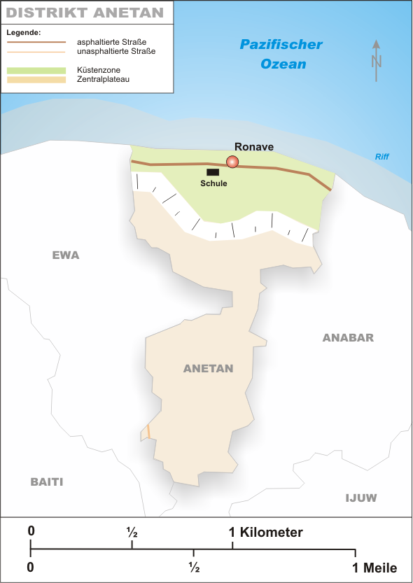
Lage Anetans 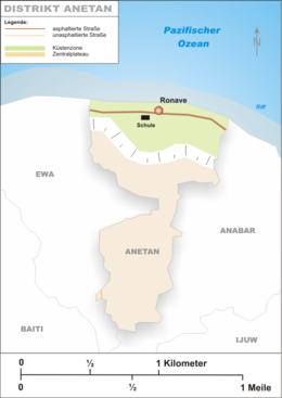
Fläche Rang (innerhalb Naurus) 7 (von 14) Insgesamt 1 km² Einwohner Rang (innerhalb Naurus) 7 (von 14) Insgesamt Stand (2004) 928 Dichte 570 Einwohner/km² Geographie Zeitzone UTC +12 Geographische Lage 1° S, 167° O-0.516667166.95Koordinaten: 1° S, 167° O Breite ca. 0,1-1,0 km Länge ca. 1,7 km Höchste Lage ca. 40 m Durchschnittliche Lage ca. 25 m Tiefste Lage ca. 0 m Anetan ist ein Distrikt im Norden des Inselstaates Nauru. Es grenzt an Ewa im Westen und an Anabar im Osten. Er ist 1,0 km² groß und ist von 930 Menschen bewohnt.
Anetan bedeutet gemäß Paul Hambruch „Mangrove“, was darauf schließen lässt, dass es einst ausgedehnte Mangrovenwälder gab; die Mangroven sind aber, wie die meisten Baumlandschaften, bedingt durch den Phosphatabbau an der Küste verschwunden.
Historische Dörfer
Bis 1968 war der heutige Distrikt Anetan ein Gau, welcher aus 12 historischen Dörfern bestand.
- Anebweyan
- Anuuroya
- Atedi
- Eatebibido
- Eatedeta
- Eateduna
- Ibwerin
- Mediteru
- Mererawua
- Mwea
- Ngengan
- Ronawi
Schlagen Sie auch in anderen Wörterbüchern nach:
Añetañ — Anetan 0°30′19″S 166°56′33″E / 0.50528, 166.9425 … Wikipédia en Français
Anetan — Saltar a navegación, búsqueda Anetan Distrito de Nauru … Wikipedia Español
Anetan — my refer to: * Anetan District * Anetan Constituency … Wikipedia
Anetan — es un distrito de Nauru. Está ubicado en el norte de la isla, tiene una superficia de 1,0 km² y una población de 880 habitantes … Enciclopedia Universal
Anetan — 0°30′19″S 166°56′33″E / 0.50528, 166.9425 … Wikipédia en Français
Anetan — Admin ASC 1 Code Orig. name Anetan Country and Admin Code NR.03 NR … World countries Adminstrative division ASC I-II
Anetan District — Anetan is a district in the Pacific island nation of Nauru. It lies in Anetan Constituency.Location and featuresIt is located in the north of the island and covers an area of 1.0 km². The population is about 880. In this district is the weather… … Wikipedia
Anetan Constituency — is a constituency of Nauru, made up of Anetan District and Ewa District. It covers an area of 2.2 km², and has a population of 1,180. It returns 2 members to the Nauruan Parliament in Yaren … Wikipedia
Anetan (Wahlkreis) — Wahlkreis Anetan Fläche Rang (innerhalb Naurus): Insgesamt: ? km² Land: Wasser (%) … Deutsch Wikipedia
Liste der Orte in Nauru — Die Republik Nauru umfasste ursprünglich 169 Dörfer; diese waren teilweise bereits nach 1900 verlassen, unbewohnt oder zerstört. Mit dem zunehmenden Bevölkerungswachstum verschmolzen die einzelnen Dörfer zu einer zusammenhängenden Siedlung,… … Deutsch Wikipedia
Anetan
18+
© Academic, 2000-2024
- Kontaktieren Sie uns: Unterstützung, Werbung
Wörterbücher Export, schritte mit PHP, Joomla, Drupal, WordPress, MODx.