- Linga Holm
-
Linga Holm Gewässer Nordsee Inselgruppe Orkneyinseln Geographische Lage 59° 7′ 57″ N, 2° 40′ 27″ W59.1325-2.6741666666667Koordinaten: 59° 7′ 57″ N, 2° 40′ 27″ W 

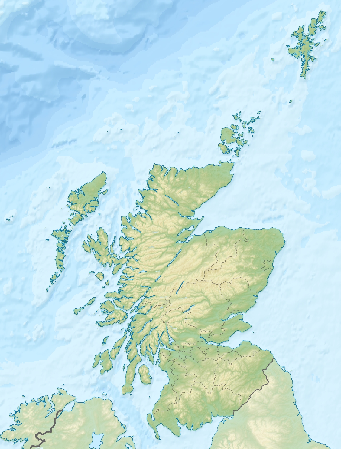
Fläche 0,57 km² Einwohner (unbewohnt) Linga Holm, auch bekannt als Midgarth oder Holm of Midgarth, ist eine kleine, unbewohnte Insel 700 m vor der Westküste von Stronsay (Orkney, Vereinigtes Königreich). Sie misst ca. 57 Hektar. Der Name Linga Holm stammt von dem Altnordischen Lyngholm.[1]
Wie auf anderen Inseln der Orkney finden sich hier archäologische Hinterlassenschaften. Auf flachem Boden besteht ein riesiges Durcheinander von stehenden und gefallenen Platten. Einige stehen 0,5 m hoch, und bilden einen Komplex von miteinander verbundenen Kammern. Er ist etwa 19 m breit und hat offenbar einen engen Eingang am direkt am Meer gelegenen Südende. Die Anlage ähnelt der Struktur auf Auskerry und ist sogar besser erhalten und wahrscheinlich ein piktisches Haus. 1841 wurden auf der Insel noch sechs Einwohner gezählt.[2][3]
Linga Holm ist heute insgesamt Schutzgebiet nach kommunalem Satzungsrecht des Orkney Islands Council und dient ausschließlich als Reservat für eine wildlebende Ersatzherde der North-Ronaldsay-Schafe, die wegen der ungünstigeren Bedingungen auf ihrer Heimatinsel vom Aussterben bedroht sind. Man hält die Insel für das drittgrößte Brutgebiet der Kegelrobbe und sie dient als wichtiges Nistgebiet der Graugänse.
Für die Insel besteht ganzjährig ein Betretungsverbot.
Referenzen
- ↑ Anderson, Joseph (Ed.) (1893) Orkneyinga saga. Translated by Jón A. Hjaltalin & Gilbert Goudie. Edinburgh. James Thin and Mercat Press (1990 reprint). ISBN 0-901824-25-9
- ↑ Haswell-Smith, Hamish. (2004) The Scottish Islands. Edinburgh. Canongate.
- ↑ FreeCEN Orkney Website
Weblinks
 Inseln der Orkneyinseln
Auskerry | Burray | Calf of Eday | Cava | Copinsay | Damsay | Eday | Egilsay | Eynhallow | Fara | Faray | Flotta | Girsay | Graemsay | Holm of Grimbister | Holm of Huip | Holm of Papa | Hoy | Lamb Holm | Linga Holm | Mainland | North Ronaldsay | Papa Stronsay | Papa Westray | Rousay | Rysa Little | Sanday | Shapinsay | South Ronaldsay | Stronsay | Sule Skerry | Sule Stack | Switha | Swona | Westray | Wyre
Wikimedia Foundation.
Schlagen Sie auch in anderen Wörterbüchern nach:
Linga Holm — es una pequeña isla de Escocia. La isla se encuentra localizada a unos 700 m al oeste de la isla de Stronsay, en el grupo de las Órcadas. Linga Holm ocupa un área de 57 ha, y se encuentra deshabitada. A pesar de su escasa superficie, Linga Holm… … Wikipedia Español
Linga Holm — Pour les articles homonymes, voir Linga et Holm. Linga Holm Géographie Pays … Wikipédia en Français
Holm (island) — There are numerous islands containing the word Holm, especially in Scotland. In many cases the name is derived from the Old Norse holmr , meaning a small and rounded islet . These include: Scotland *In the Orkney archipelago: **Glims Holm… … Wikipedia
Holm — Cette page d’homonymie répertorie les différents sujets et articles partageant un même nom. Holm peut désigner : Personnalités Celeste Holm, actrice ; Ian Holm, acteur ; Stefan Holm, athlète suédois. Toponymes Îles des Orcades… … Wikipédia en Français
Linga — Cette page d’homonymie répertorie les différentes îles partageant un même nom. Linga, une île des Shetland en Écosse ; Linga, une île des Shetland en Écosse ; Linga, une île des Shetland en Écosse ; East Linga, une île des… … Wikipédia en Français
Holm of Papa — w1Vorlage:Infobox Insel/Wartung/Fläche fehlt Holm of Papa Holm of Papa Gewässer Nordsee … Deutsch Wikipedia
Linga, Vaila — Linga is one of the Shetland Islands, near Vaila and Walls on Mainland, Shetland. (It should be noted that Linga is an extremely common name in Shetland)Geography and geologyLinga is made up of sandstone, subjected to ancient glacial… … Wikipedia
Linga, Little and Muckle — LINGA, LITTLE and MUCKLE, isles, in the parish of Stronsay, county of Shetland. These are small islands, the one lying to the north west of Stronsay; and the other, which is the larger, and sometimes called the Holm of Midgarth, situated in… … A Topographical dictionary of Scotland
Holm of Noss — Noss and the Holm of Noss The Holm of Noss or Cradle Holm[1] is an uninhabited islet of the Shetland Islands. It is about 48m at its highest point.[1] … Wikipedia
Linga, Samphrey — Infobox Scottish island latitude=60.44 longitude= 1.15 GridReference=HU466733 celtic name= norse name=lyngey meaning of name=heather island area= 30 40 ha area rank= highest elevation= 40 m Population=0 population rank= main settlement= island… … Wikipedia
Linga Holm
18+
© Academic, 2000-2024
- Kontaktieren Sie uns: Unterstützung, Werbung
Wörterbücher Export, schritte mit PHP, Joomla, Drupal, WordPress, MODx.