Parasnath

Parasnath

f1

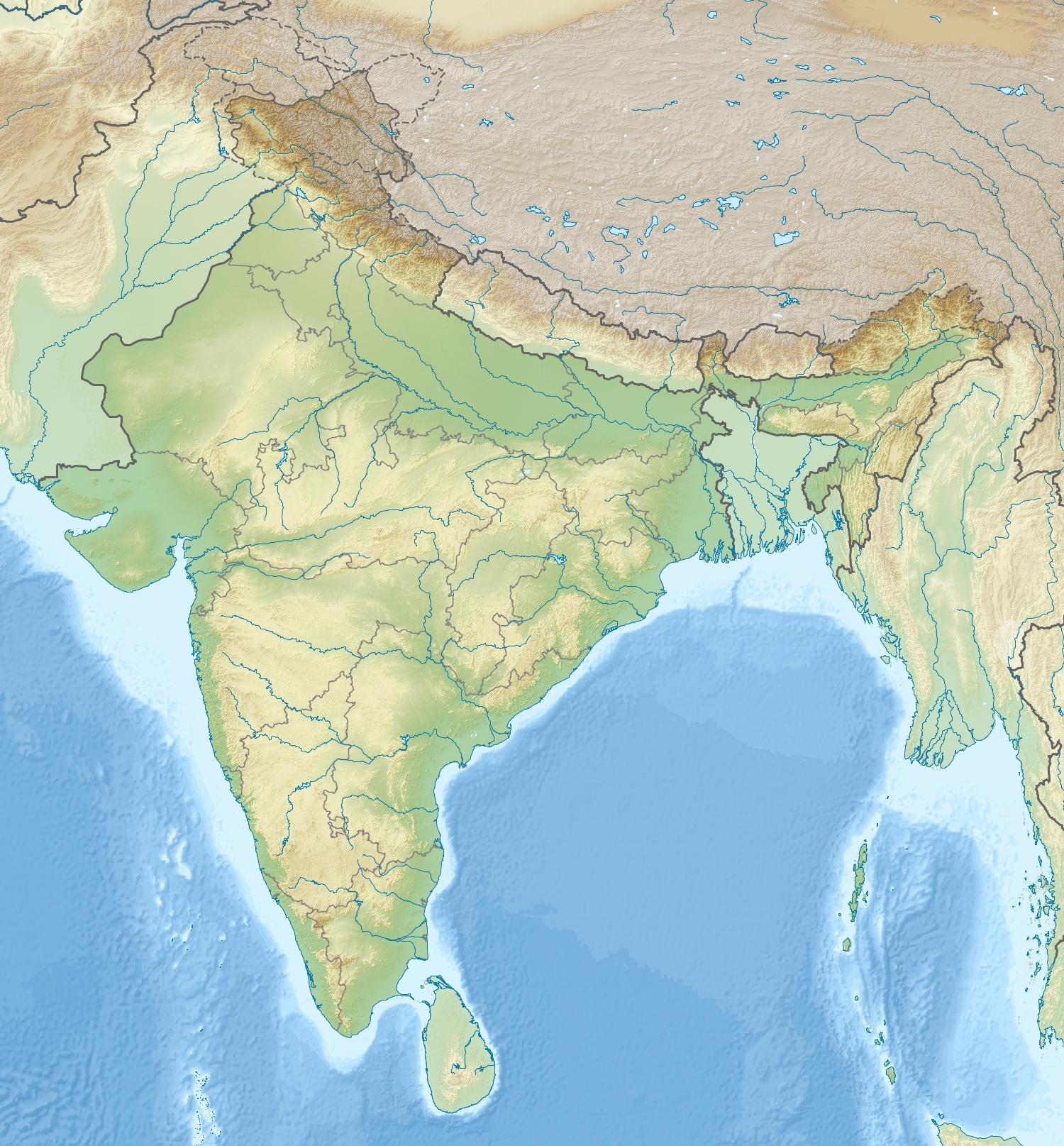
Parasnath
Höhe 1.365 m
Lage Bundesstaat Jharkhand, Indien
Geographische Lage 23° 58′ 0″ N, 86° 8′ 0″ O23.96666666666786.1333333333331365Koordinaten: 23° 58′ 0″ N, 86° 8′ 0″ O
Parasnath (Indien)
Parasnath

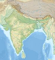
Der Parasnath ist mit 1.365 m der höchste Berg im indischen Bundesstaat Jharkhand und ein bedeutender Pilgerort der Religionsgemeinschaft des Jainismus.

Der Berg liegt im Osten des Hazaribag-Plateaus. Benannt ist er nach Parashvanatha, dem 23. Thirthankara der Jainas, der hier der Legende nach das Nirwana erreichte. Auf dem Berggipfel stehen 24 Tempel, die die 24 Thirthankaras der Jainas symbolisieren. Sie können vom Dorf Madhuban aus mit einem 11 km langen Fußmarsch erreicht werden.


Wikimedia Foundation.

Игры ⚽ Поможем решить контрольную работу

Schlagen Sie auch in anderen Wörterbüchern nach:

  • Parasnath Hills — The word Parasnath comes from the 23rd Jain Tirthankara Shri Parshwanath Bhagwan. Parasnath hills are a range of small to medium size hills (highest peak 1350 meters) and are located in Jharkhand state, eastern India. They make up the highest… …   Wikipedia

  • Parasnath Yadava — Infobox Indian politician name = Parasnath Yadava caption = birth date = Birth date and age|1949|1|12|df=y birth place = Jaunpur, Uttar Pradesh residence = Jaunpur death date = death place = constituency = Jaunpur office = MP salary = term =… …   Wikipedia

  • Shikharji — Shri Sammet Shikharji (श्री सम्मेत शिखरजी), located near Giridih, in Jharkhand state, India, is a major Jain pilgrimage destination and one of the most sacred places for Jains in the world. As many as 20 out of 24 Tirthankaras attained Nirvana… …   Wikipedia

  • Chota Nagpur Plateau — For disambiguation, see Chota Nagpur (disambiguation). The Chota Nagpur Plateau (Hindi: छोटा नागपुर पठार) is a plateau in eastern India, which covers much of Jharkhand state as well as adjacent parts of Orissa, West Bengal, Bihar and Chhattisgarh …   Wikipedia

  • Bokaro Steel City — Infobox Indian Jurisdiction native name=Bokaro type=city latd = 23.67|latNS=N|longd=86.15|longEW=E state name=Jharkhand district=Bokaro country=India altitude=210 population as of = 2001 population total = 497000 population density = 8760 area… …   Wikipedia

  • Dhanbad district — This article is about the district. For its eponymous headquarters, see Dhanbad. Dhanbad district धनबाद जिला Location of Dhanbad district in Jharkhand …   Wikipedia

  • Howrah Rajdhani — was the first fully air conditioned train as well as the first Rajdhani train. It was stated in the year 1969. At that time it only had AC Chair Car seating (A class of Seating in Indian Railways)huh?|date=September 2008. It reduced the traveling …   Wikipedia

  • Dhanbad — This article is about the municipality in India. For its namesake district, see Dhanbad district. Dhanbad   city   …   Wikipedia

  • Giridih district — is one of the twenty two districts of Jharkhand state, India, and Giridih is the administrative headquarters of this district.Giridih district was created on 6th December 1972 by carving some parts of Hazaribagh district.GeographyThe district,… …   Wikipedia

  • Dumari block — Dumri block, one of the twelve administrative blocks of Giridih district of Jharkhand state, India, has a population (2001 census) of 179,114.Isri Bazar is the main market of Dumri Block and is situated on Grand Trunk Road (G T Road); the nearest …   Wikipedia

Share the article and excerpts

Direct link
Do a right-click on the link above
and select “Copy Link”