- Broomfield County
-
Verwaltung US-Bundesstaat: Colorado Verwaltungssitz: Broomfield Adresse des
Verwaltungssitzes:Gründung: 15. November 2001 Gebildet aus: {{{GEBILDET_AUS}}} Vorwahl: {{{VORWAHL}}} Demographie Einwohner: 43.478 (2005) Bevölkerungsdichte: 619,3 Einwohner/km² Geographie Fläche gesamt: 71,1 km² Wasserfläche: 0,9 km² Karte 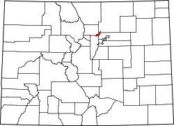
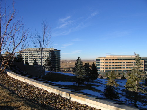
Website: www.broomfield.org  Der Büropark "Interlocken" in Broomfield
Broomfield ist eine Stadt und zugleich ein County im US-Bundesstaat Colorado, Vereinigte Staaten, mit 43.200 Einwohnern (Stand: 2004) und Sitz der County-Verwaltung.
Partnerstädte
Broomfield hat zwei Partnerstädte:
Schulen
- Aspen Creek K-8 School
- Meridian Elementary School
- Birch Elementary School
- Broomfield Heights Middle School
- Broomfield High School
- Centennial Elementary School
- Coyote Ridge Elementary School
- Emerald Elementary School
- Kohl Elementary School
- Legacy High School
- Mandalay Middle School
- Mountain View Elementary School
- Ryan Elementary School
- Standley Lake High School
- Westlake Middle School
- Meritor Academy
- Beautiful Savior Lutheran School (Preschool-8)
- Chariot Christian School Broomfield
- Holy Family High School
- Nativity of Our Lord Catholic School
- Bal Swan Children's Center
- Front Range Community College
- Health Sciences Center
- Metropolitan State College
- Westwood College of Aviation Technology
Museen
- Broomfield Depot Museum
- Broomfield Veterans Memorial Museum

Adams | Alamosa | Arapahoe | Archuleta | Baca | Bent | Boulder | Broomfield | Chaffee | Cheyenne | Clear Creek | Conejos | Costilla | Crowley | Custer | Delta | Denver | Dolores | Douglas | Eagle | El Paso | Elbert | Fremont | Garfield | Gilpin | Grand | Gunnison | Hinsdale | Huerfano | Jackson | Jefferson | Kiowa | Kit Carson | La Plata | Lake | Larimer | Las Animas | Lincoln | Logan | Mesa | Mineral | Moffat | Montezuma | Montrose | Morgan | Otero | Ouray | Park | Phillips | Pitkin | Prowers | Pueblo | Rio Blanco | Rio Grande | Routt | Saguache | San Juan | San Miguel | Sedgwick | Summit | Teller | Washington | Weld | Yuma
39.931816666667-105.06591944444Koordinaten: 39° 56′ N, 105° 4′ W

Wikimedia Foundation.