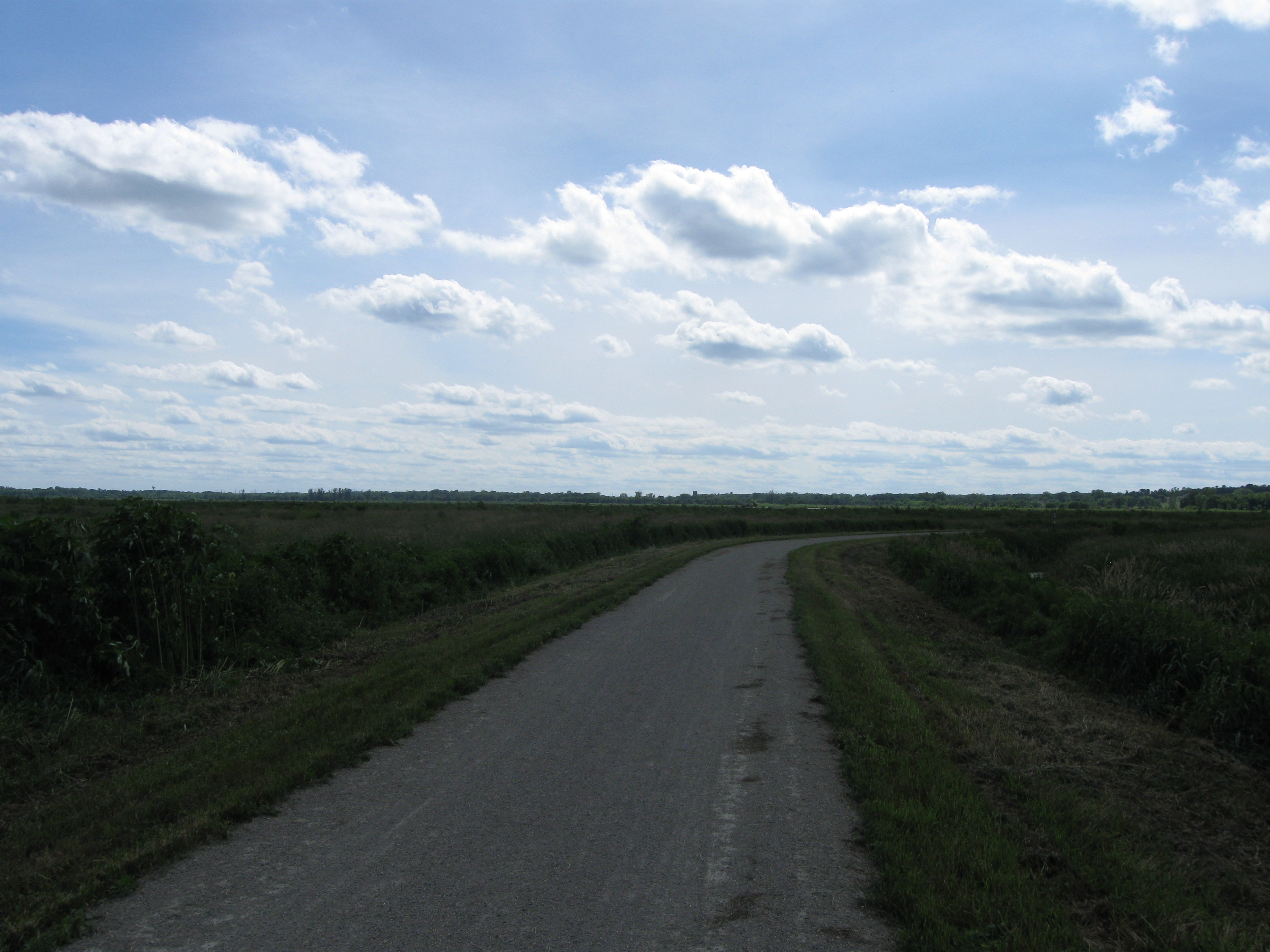
Glacial Drumlin State Trail
Schlagen Sie auch in anderen Wörterbüchern nach:
Sugar River State Trail — Der Sugar River State Trail ist ein 37 km langer State Trail im US Bundesstaat Wisconsin. Er beginnt in New Glarus und verläuft über Monticello und Albany nach Brodhead. Die Oberfläche besteht aus Kalkstein. Flora In den Feuchtgebieten kommen… … Deutsch Wikipedia
Drumlin — Der auf einem Drumlin erbaute Ort Raderach Drumlins mit Baum im … Deutsch Wikipedia
Badger State Trail — Der Badger State Trail ist ein 64 Kilometer langer sogenannter Vías Verdes in Wisconsin. Verlauf Der Badger State Trail verläuft zunächst von der Grenze zu Illinois über Clarno, Monroe (Anschluss an den Cheese Country Trail), Monticello… … Deutsch Wikipedia
400 State Trail — Der 400 State Trail ist ein ca. 35 km langer State Trail in Wisconsin. Er verläuft entlang des Baraboo River von Elroy über Center, Wonewoc und LaValle nach Reedsburg. Die Oberfläche besteht aus Gras und Kalkstein. Weblinks Offizielle Webseite… … Deutsch Wikipedia
Lapham Peak Unit, Kettle Moraine State Forest — Lapham Peak is a Wisconsin state park located in the Kettle Moraine State Forest park system. It is just south of Delafield and seven miles (11 km) west of Waukesha. The park entrance is two miles (3 km) north of the Glacial Drumlin State Trail.… … Wikipedia
Devil's Lake State Park (Wisconsin) — This is about the state park in Wisconsin. For parks with similar names, see Devil s Lake State Park (disambiguation) Coordinates: 43°24′53″N 89°42′47″W / 43.41472°N 89.7 … Wikipedia
Mill Bluff State Park — Coordinates: 43°56′47″N 90°18′55″W / 43.94639°N 90.31528°W / 43.94639; 90.31528 … Wikipedia
Post-glacial rebound — A model of present day mass change due to post glacial rebound and the reloading of the ocean basins with seawater. Blue and purple areas indicate rising due to the removal of the ice sheets. Yellow and red areas indicate falling as mantle… … Wikipedia
Chippewa Moraine State Recreation Area — Coordinates: 45°13′01″N 91°23′16″W / 45.21694°N 91.38778°W / 45.21694; 91.38778 … Wikipedia
Big Rock (glacial erratic) — Big Rock Big Rock (also known as Okotoks Erratic) is a glacial erratic situated between the towns of Okotoks and Black Diamond, Alberta, Canada (18 kilometres south of Calgary). The 15,000 tonne (16,500 short ton) quartzite boulder is the world s … Wikipedia
 Blick auf den Glacial Drumlin State Trail