Grassy Key

Grassy Key

Vorlage:Infobox Insel/Wartung/Bild fehltVorlage:Infobox Insel/Wartung/Höhe fehlt

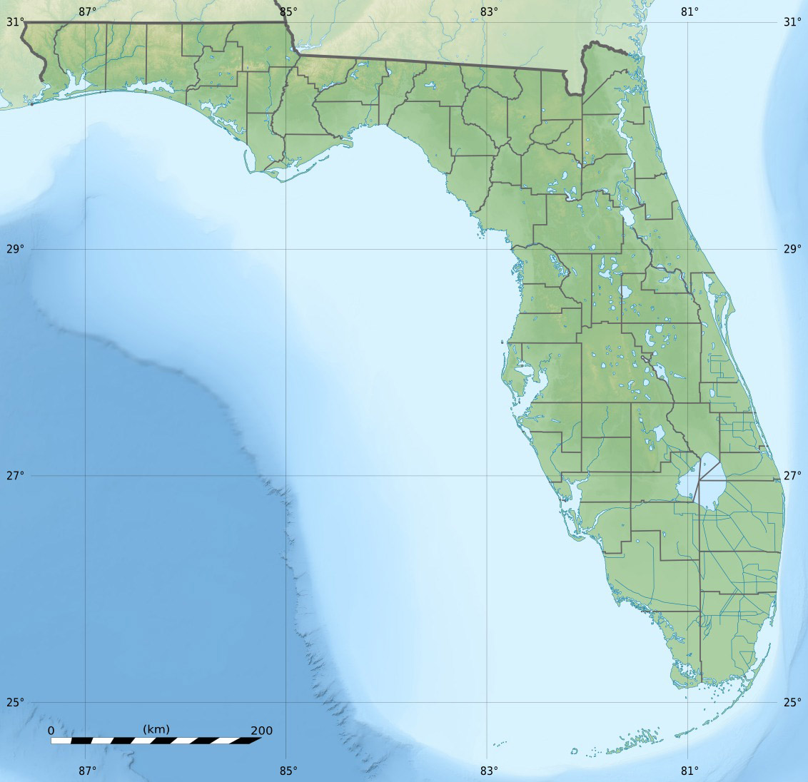
Grassy Key
Gewässer Golf von Mexiko
Inselgruppe Florida Keys
Geographische Lage 24° 45′ 39″ N, 80° 57′ 17″ W24.760833333333-80.954722222222Koordinaten: 24° 45′ 39″ N, 80° 57′ 17″ W
Grassy Key (Florida)
Grassy Key
Länge 5,0 km
Breite 1,3 km
Fläche 3,650593 km²
Einwohner 974 (2000)
267 Einw./km²

Grassy Key, Florida ist eine Insel. Sie gehört zu den Middle Keys der Florida Keys. Über die Insel führt der Overseas Highway. Grassy Key liegt bei MM57-60, zwischen den Conch Keys und Fat Deer Key. Sie ist die nördlichste Insel, über die sich die Stadt Marathon (Florida) erstreckt.

Nach dem Zensus 2000 umfasste die Insel die Blocks 2045 bis 2116 des Census Tracts 9710 im Monroe County (Florida). Diese ergaben in der Summe eine Bevölkerung von 974 auf einer Fläche von 3,65 km².[1]

Inhaltsverzeichnis

Geschichte des Namens

In den Aufzeichnungen von DeBrahm aus dem Jahre 1772 wurde Grassy Key als „Ellis Island“ bezeichnet. In den handschriftlichen Aufzeichnungen von F.H. Gerdes aus dem Jahre 1849 wurde die Insel bereits „Grassy Keys“ genannt. Auch in den Aufzeichnungen zum Brand des Schiffes Concordia im Jahre 1855 taucht der Name Grassy Key auf. Der Name der Insel soll von einem alten Siedler stammen, nicht vom Grasbewuchs.

Das Dolphin Research Center liegt auf Grassy Key in Höhe MM59.

Literatur

  • The de Brahm Charts of the Atlantic Ocean, 1772-1776, by Ralph H. Brown © 1938

Einzelnachweise

  1. [1]

Weblinks und Quellen


Wikimedia Foundation.

Игры ⚽ Нужен реферат?

Schlagen Sie auch in anderen Wörterbüchern nach:

  • Grassy Key — Grassy Key (en) Géographie Pays   …   Wikipédia en Français

  • Grassy Key — Grassy Key, Florida is an island in the middle Florida Keys.It is located on U.S. 1 (or the Overseas Highway), at approximately mile markers 57 60, below the Conch Keys.It is one of the northernmost islands in a chain of islands that comprise the …   Wikipedia

  • Grassy — ist der Familienname folgender Personen: József Grassy (1894–1946); ungarischer Offizier in der k.u.k. Armee und in der Königlich Ungarischen Armee Siehe auch: Grassy Butte, Ort (populated place,Census Class Code U6) im Südosten des McKenzie… …   Deutsch Wikipedia

  • Key deer — A male Key Deer on No Name Key in the Florida Keys Conservation status …   Wikipedia

  • Key Largo — Coordinates: 25°05′11″N 80°26′50″W / 25.0865°N 80.4473°W / 25.0865; 80.4473 …   Wikipedia

  • Missouri Key — is a small island in the lower Florida Keys. U.S. 1 (or the Overseas Highway) crosses the key at approximately mile marker 39.5, between Ohio Key and Little Duck Key. The island was named during Henry Flagler s Overseas Railroad construction… …   Wikipedia

  • Crawl Key — is an island in the middle Florida Keys. U.S. 1 (or the Overseas Highway) traverses the key between Grassy Key and Long Point Key, which is part of a long stretch of road known as the Grassy Key Causeway. It is entirely within the city of… …   Wikipedia

  • National Key Deer Refuge — Coordinates: 24°44′00″N 81°24′00″W / 24.7333333°N 81.4°W / 24.7333333; 81.4 The National Key Deer Refuge is a 8,542 acre (34 …   Wikipedia

  • Dagny Johnson Key Largo Hammock Botanical State Park — IUCN Category V (Protected Landscape/Seascape) …   Wikipedia

  • Duck Key — This article is about the island. For the census designated place, see Duck Key, Florida. Duck Key is an island in Monroe County, Florida, United States, in the middle Florida Keys.It is part of the Duck Key, Florida census designated place. The… …   Wikipedia

Share the article and excerpts

Direct link
Do a right-click on the link above
and select “Copy Link”