Hook Island

Hook Island

Vorlage:Infobox Insel/Wartung/Bild fehlt

Hook Island
Gewässer Korallenmeer
Inselgruppe Whitsunday Islands
Geographische Lage 20° 7′ 0″ S, 148° 55′ 0″ O-20.116666666667148.91666666667182Koordinaten: 20° 7′ 0″ S, 148° 55′ 0″ O
Hook Island (Queensland)
Hook Island
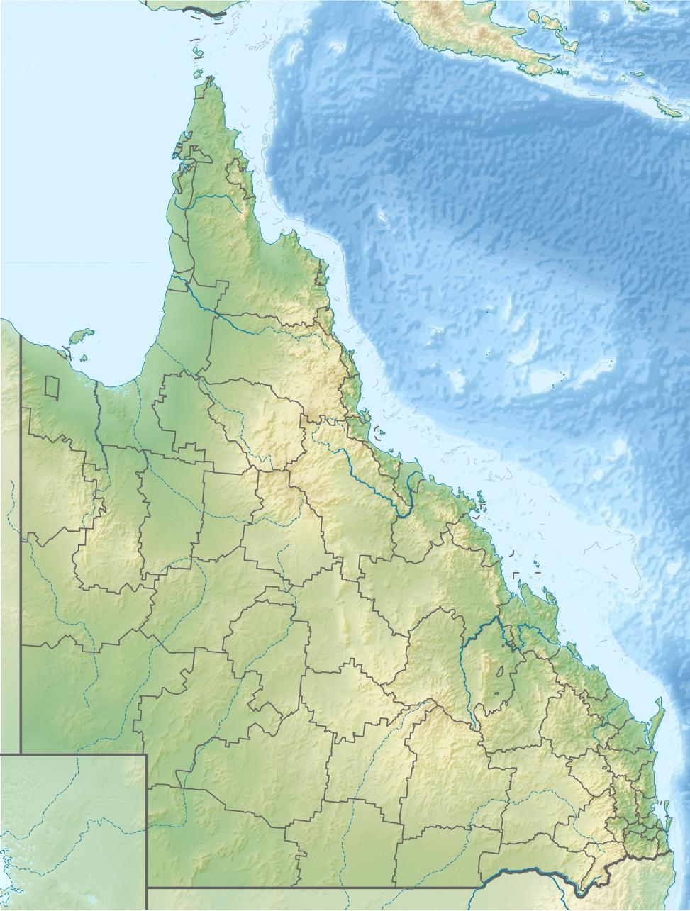
Länge 5,1 km
Breite 3,6 km
Fläche 750 Hektardep1
Höchste Erhebung 182 m
Einwohner 5.000 w3

Hook Island ist eine der Inseln der Inselgruppe der Whitsunday Islands vor der Küste von Queensland in Australien. Die Insel ist felsig und ein Teil des Whitsunday Islands National Park. Die Insel wird offiziell noch zu den Cumberland Islands gezählt, die James Cook 1770 entdeckt und so benannt hatte.

Inselereignisse

Am 12. Februar 2008 lief eine Yacht bei Cape Cove auf Grund.[1] Die auf der Jacht befindlichen 37 Personen wurden mit Hubschraubern gerettet. Diese Rettungsaktion war die größte Rettung von Schiffbrüchigen durch diese Fluggeräte in Australien.[1] Zwei Personen wurden im Dezember 2009 durch die giftige Irukandji-Qualle beim Schnorcheln auf der Hook Island getötet.[2]

Auf dieser Insel befinden sich die ältesten archäologischen Stätten im Osten von Australien. An einer Stätte am Nara Inlet wurden die ältesten Funde vom Aborigines-Stamm der Ngaro mit einem Alter von 9000 Jahren im Great Barrier Reef Marine Park gefunden.[3] Zu diesem Ort führt der Ngaro-Sealtrail.[4]

Touristische Informationen

Die Insel hat zwei sehenswerte Fjorde, den Nara und Macona Inlet. Die Insel liegt in Norden der Festlandküste mit Korallenstränden, an denen geschnorchelt und getaucht werden kann. Auf Hook Island befindet sich das Hook Island Wilderness Resort, das an bestimmten Tagen für große Katamarane geöffnet. In diesem Resort befindet sich ein Restaurant mit Bar, wo Essen und Snacks erhältlich sind. Das Resort organisiert auch Schwimm-, Schnorchel- Tauchfahrten und Beobachtungen der Unterwasserwelt in einem Unterwasser-Observatorium.

Einzelnachweise

  1. a b Victoria Bruce: Maritime rescue heroes awarded bravery medals. In: Brisbane Times, Fairfax Digital, 15. April 2009. Abgerufen am 23. Mai 2010. 
  2. Georgina Robinson: Dive into deadly jellyfish tentacles. In: Sydney Morning Herald, Fairfax Digital, 4. Dezember 2009. Abgerufen am 23. Mai 2010. 
  3. Fiona Dickson: The Ngaro people of the Whitsundays. In: ABC Tropical North, Australian Broadcasting Corporation, 25. Juni 2008. Abgerufen am 23. Mai 2010. 
  4. Information auf derm.qld.gov.au, abgerufen am 23. Mai 2010

Wikimedia Foundation.

Игры ⚽ Нужна курсовая?

Schlagen Sie auch in anderen Wörterbüchern nach:

  • Hook Island — is one of the Whitsunday Islands off the coast of the Australian state of Queensland. The island is almost uninhabited and quite rugged. The island has two prominent geographical features on the southern side of Hook Island; the Nara and Macona… …   Wikipedia

  • Penton Hook Island — is an island in the River Thames in England adjacent to Penton Hook Lock, near Laleham, Surrey. At this point the natural course of the river makes a large loop or hook round the island, although this is now closed off by the weir. The island is… …   Wikipedia

  • Hook (video game) — Hook is the name of four unrelated video games released in 1992 that were based on the film of the same name. Hook by IremIn this arcade beat em up from Irem, the objective was to save Peter Pan s children from the evil Captain Hook. The player… …   Wikipedia

  • Hook River — is a natural watercourse in the southern Canterbury region of New Zealand s South Island. [Land Information New Zealand, [http://www.linz.govt.nz/apps/placenames/index.html?p=15776 Geographic Placename Database: Place Name Detail Hook River] ,… …   Wikipedia

  • Hook turn — A hook turn is a traffic control mechanism where cars that would normally have to turn across oncoming traffic are made to turn across all lanes of traffic instead. Hook turns are relatively rare, but can be used to improve the flow of through… …   Wikipedia

  • Hook railway station — Infobox UK station name = Hook code = HOK caption = The station building seen from the westbound platform manager = South West Trains locale = Hook borough = Hart usage0405 = 0.510 usage0506 = 0.517 usage0607 = 0.593 platforms = 2 start = 2 July… …   Wikipedia

  • Hook, New Zealand — Location map New Zealand label=Hook lat dir=S | lat deg=44 | lat min=41 lon dir=E | lon deg=171 | lon min=08 position=right width= 150 float=right caption=Hook is a lightly populated locality in the southern Canterbury region of New Zealand s… …   Wikipedia

  • Island Studios — Studios SARM West Les studios d enregistrement Sarm West, précédemment connus sous le nom de Studios Basing Street, sont situés dans le quartier de Notting Hill, à Londres. Les studios ont été créés par le producteur Chris Blackwell, fondateur de …   Wikipédia en Français

  • Hook Windmill — Infobox nrhp | name =Hook Windmill nrhp type = caption = location= East Hampton, New York lat degrees = 40 lat minutes = 57 lat seconds = 56 lat direction = N long degrees = 72 long minutes = 11 long seconds = 2 long direction = W locmapin = New… …   Wikipedia

  • Penton Hook Lock — Infobox Waterlock lock name = Penton Hook Lock [ [http://www.visitthames.co.uk/uploads/a users guide to the River thames.pdf Statistics from Environment Agency A User s Guide to the River Thames:Part II ] ] |thumb|right|] caption = Penton Hook… …   Wikipedia

Share the article and excerpts

Direct link
Do a right-click on the link above
and select “Copy Link”