Iheya-jima

Iheya-jima

Vorlage:Infobox Insel/Wartung/Bild fehlt

Iheya-jima
Gewässer Ostchinesisches Meer
Inselgruppe Iheya-rettō, Ryūkyū-Inseln
Geographische Lage 27° 3′ N, 127° 59′ O27.052777777778127.97638888889294Koordinaten: 27° 3′ N, 127° 59′ O
Iheya-jima (Japan)
Iheya-jima
Länge 14 km
Breite 2,9 km
Fläche 20,66 km²
Höchste Erhebung Kayō-zan (Gayo-take)
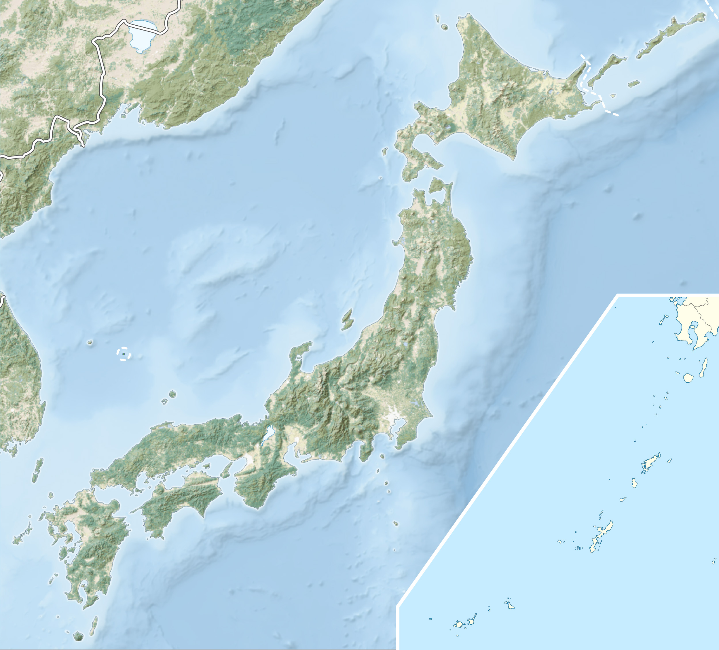
294 m
Hauptort Iheya

Iheya-jima (jap. 伊平屋島) ist eine gebirgige Insel in der Gruppe der Ryūkyū-Inseln.

Sie hat eine Fläche von 20,66 km². Die Insel ist mit einer 680 Meter langen Brücke mit der Insel Noho-jima verbunden, auf der sich der Ortsteil Noho befindet. Die beiden Inseln bilden zusammen die Gemeinde (mura, „Dorf“) Iheya der Präfektur Okinawa. Die Gemeinde hat eine Fläche von 21,72 km², und 1.388 Einwohner (Stand 1. Oktober 2009). Die Hauptwirtschaftssektoren der Gemeinde sind die Landwirtschaft und die Fischerei.

Zur Inselgruppe Iheya-rettō gehören zudem noch die weiter südlich gelegene Izena-jima mit ihren Nebeninseln Gushikawa-shima (nördlich von Izena) und Yanaha-shima (südlich).

Weblinks


Wikimedia Foundation.

Игры ⚽ Нужно сделать НИР?

Schlagen Sie auch in anderen Wörterbüchern nach:

  • Iheya-jima — 伊平屋村 (ja) Géographie Pays …   Wikipédia en Français

  • Noho-jima — Vorlage:Infobox Insel/Wartung/Bild fehltVorlage:Infobox Insel/Wartung/Höhe fehlt Nohojima Gewässer Ostchinesisches Meer Inselgruppe Ryūkyū Inseln Geographische Lage …   Deutsch Wikipedia

  • Archipel Okinawa — Pour les articles homonymes, voir Okinawa. L archipel Okinawa et l archipel Kerama L archipel Okinawa ( …   Wikipédia en Français

  • Okinawa (île) — Pour les articles homonymes, voir Okinawa. Okinawa Hontō avec Ie jima au nord ouest …   Wikipédia en Français

  • Liste des îles du Japon — Voici la liste d îles du Japon. Le Japon est un archipel composé d environ 3 000 îles de tailles diverses, les quatre principales étant Honshū, Hokkaidō, Kyūshū et Shikoku. Toutes ne sont pas représentées ici. Sommaire 1 Par lieux 1.1 Mer du… …   Wikipédia en Français

  • Archipel Nansei — 26° 30′ N 128° 00′ E / 26.5, 128 …   Wikipédia en Français

  • Îles Ryūkyū — 26°19′58″N 127°44′56″E / 26.33278, 127.74889 …   Wikipédia en Français

  • USS Sea Dog (SS-401) — was a Balao class submarine in the United States Navy. She was the first ship to be named for the dogfish, a small shark of the North Atlantic, considered destructive by fishermen. Sea Dog was laid down on 1 November 1943 at the Portsmouth Navy… …   Wikipedia

  • Ryuthela iheyana — Ryuthela iheyana …   Wikipédia en Français

  • Prefectura de Okinawa — Okinawa 沖縄県 Okinawa ken Prefectura de Japón …   Wikipedia Español

Share the article and excerpts

Direct link
Do a right-click on the link above
and select “Copy Link”