- Lānaʻihale
-
Lānaʻihale 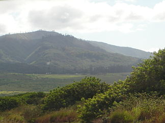
Lānaʻihale (links)
Höhe 1.030 m Lage Lānaʻi, Hawaii, USA Geographische Lage 20° 48′ 50″ N, 156° 52′ 0″ W20.813888888889-156.866666666671030Koordinaten: 20° 48′ 50″ N, 156° 52′ 0″ W 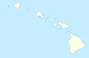

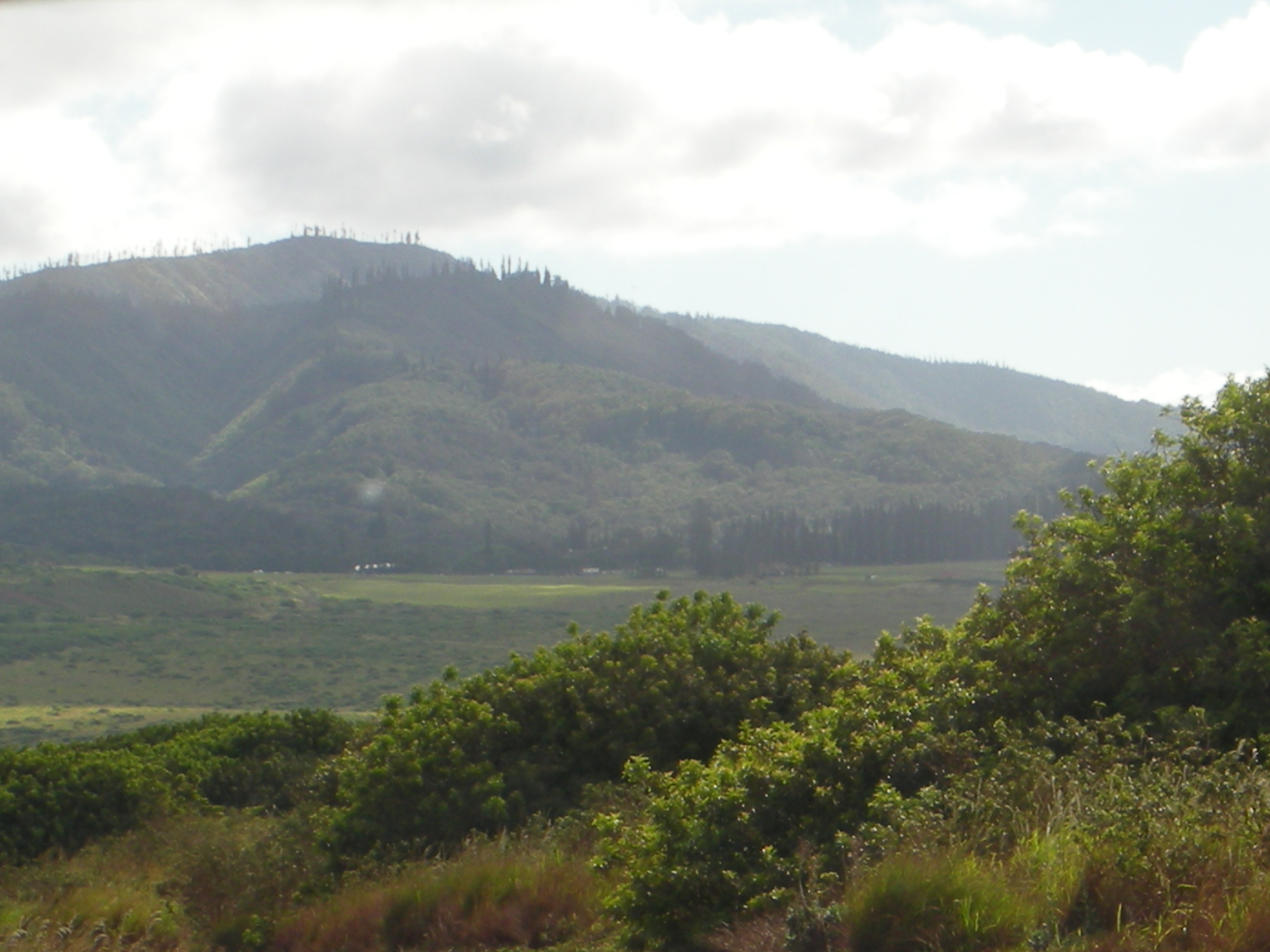
Typ Schildvulkan Der Lānaʻihale (auch Lanaihale) ist die höchste Erhebung der Insel Lānaʻi im Archipel von Hawaii. Er liegt im Südosten der Insel und erreicht eine Höhe von 1030 m über dem Meer. Lānaʻihale zählt zu den sieben Schildvulkanen, die einst die Insel Maui Nui bildeten, aus der die heutigen Inseln Maui, Molokaʻi, Lānaʻi und Kahoʻolawe hervorgegangen sind.
Die Wälder an den Hängen des Lānaʻihale sind ein bedeutendes Rückzugsgebiet des Hawaiisturmvogels (Pterodroma sandwichensis, hawaiisch: ʻUaʻu).
Weblinks
- Lānaʻihale bei Peakbagger.com (englisch)
- Lānaʻihale im Geographic Names Information System des United States Geological Survey
- Lana'ihale auf den Seiten des Department of Land and Natural Resources (englisch)
Kategorien:- Eintausender
- Berg in Hawaii
- Berg in Australien und Ozeanien
- Schildvulkan
- Lānai

Wikimedia Foundation.