- Leeton (New South Wales)
-
Leeton 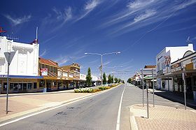
Pine Avenue, HauptgeschäftsstraßeStaat:  Australien
Bundesstaat:  New South Wales
Gegründet: 2. April 1913 Koordinaten: 33° 33′ S, 146° 24′ O-33.55146.4138.3Koordinaten: 33° 33′ S, 146° 24′ O Höhe: 138,3 m Einwohner: 6.828 (2006 [1]) Zeitzone: AEST (UTC+10) Postleitzahl: 2705 LGA: Leeton Shire Webpräsenz: 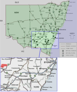
Leeton (6.828 Einwohner) ist eine Stadt in der Riverina, im Staat Neu-Süd-Wales in Australien, 580 Kilometer westlich von Sydney und 450 KIlometer nördlich von Melbourne. Die Stadt ist Verwaltungssitz des Leeton Shire.
Leeton liegt im Mittelpunkt des Murrumbidgee-Bewässerungsgebiets (Murrumbidgee Irrigation Area, M.I.A.), einer der landwirtschaftlich ertragreichsten Gegenden Australiens, in der vor allem Zitrusfrüchte, Aprikosen, Wein, Reis und Weizen angebaut werden.
Die Stadt ist Geschäftssitz von SunRice, des größten Reishandelsunternehmens Australiens.
Leetons Grundriss mit in konzentrischen Kreisen angeordneten Straßen wurde vom amerikanischen Architekten Walter Burley Griffin entworfen, ebenso wie die Hauptstadt Canberra und die Nachbarstadt Griffith. 1912 wurden die ersten öffentlichen Gebäude (Wasserturm, Post) für die zunächst aus Zelten bestehende Siedlung errichtet. Die offizielle Gründung erfolgte 1913 mit dem Start für den Verkauf von Baugrundstücken.
Inhaltsverzeichnis
Fotogalerie
-
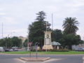
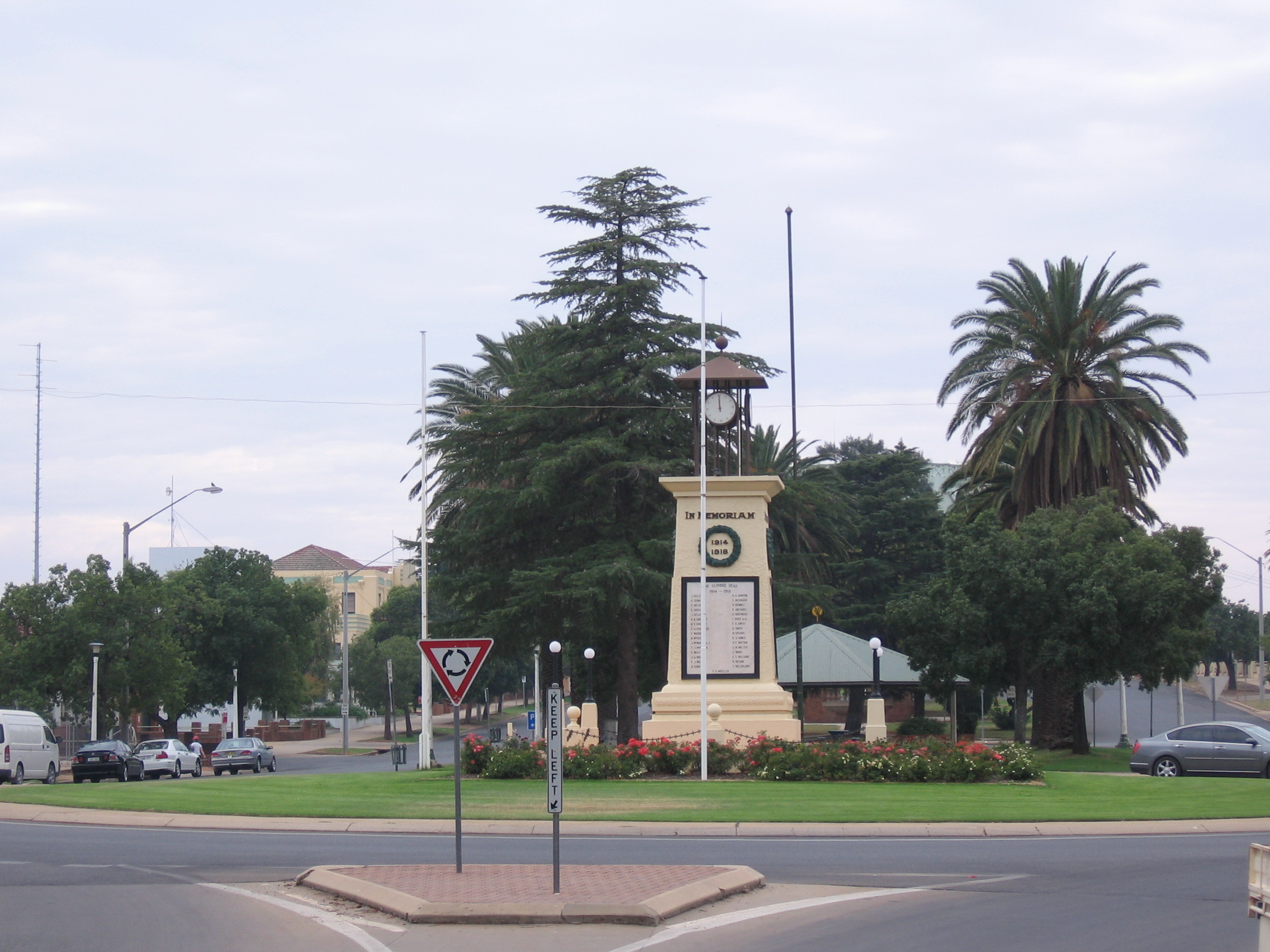
Kriegsdenkmal.
-
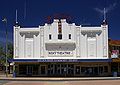
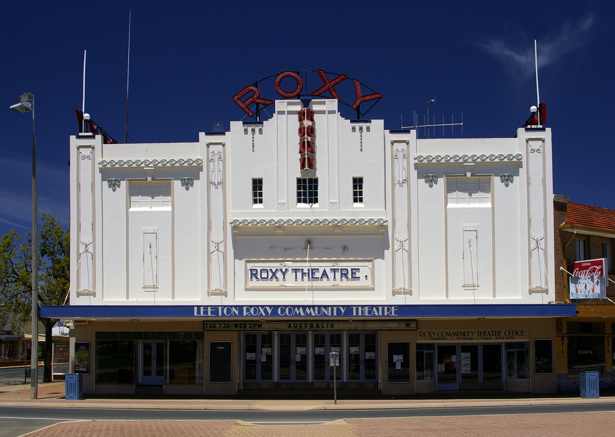
Das Roxy (Kino und Theater)
-

Die anglikanische Kirche St. Peter.
Söhne und Töchter der Stadt
- Matthew Dunn (* 1973), Schwimmer
Weblinks
 Commons: Leeton, New South Wales – Album mit Bildern und/oder Videos und Audiodateien
- Leeton Shire Council - Webseite der Gemeinde
- Leeton Visitors Information Centre
Einzelnachweise
- ↑ Australian Bureau of Statistics (25. Oktober 2007): Leeton (Urban Centre/Locality) (Englisch). 2006 Census QuickStats. Abgerufen am 6. Januar 2010.
Kategorie:- Ort in New South Wales
-


Wikimedia Foundation.