- Tajov
-
Tajov
Wappen Karte 
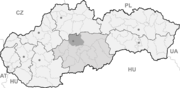

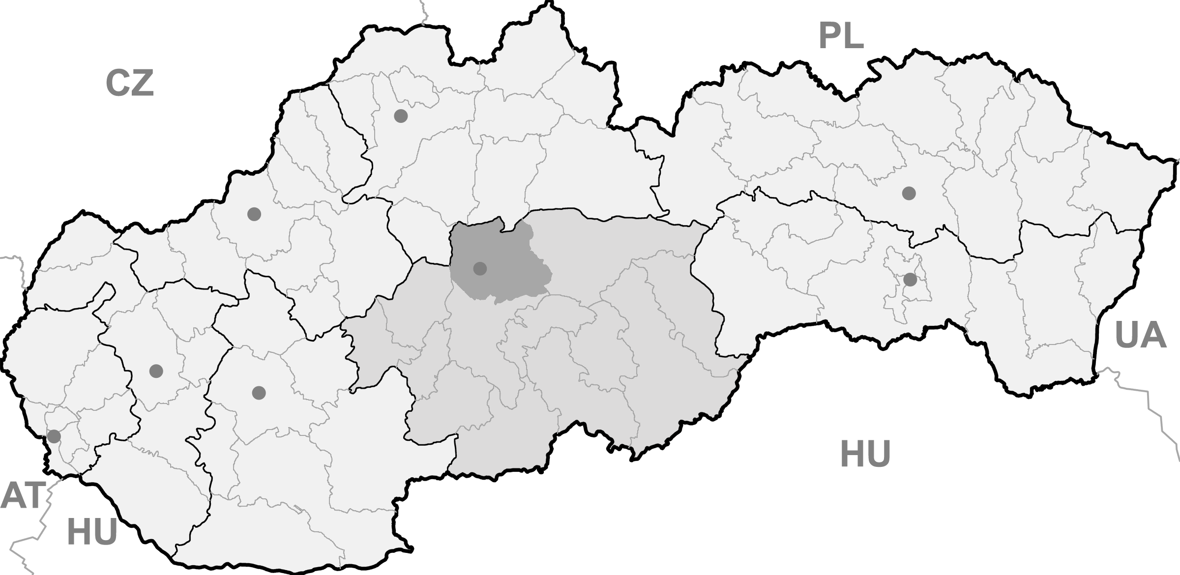
Tajov BasisdatenKraj: Banskobystrický kraj Okres: Banská Bystrica Region: Horehronie Fläche: 9,299 km² Einwohner: 570 (31. Dez. 2010) Bevölkerungsdichte: 61,3 Einwohner je km² Höhe: 464 m n.m. Postleitzahl: 976 34 Telefonvorwahl: 0 48 Geographische Lage: 48° 45′ N, 19° 4′ O48.74611111111119.070277777778464Koordinaten: 48° 44′ 46″ N, 19° 4′ 13″ O Kfz-Kennzeichen: BB Gemeindekennziffer: 509060 StrukturGemeindeart: Gemeinde Gliederung Gemeindegebiet: 2 Gemeindeteile Verwaltung (Stand: Februar 2011)Bürgermeister: Ladislav Surovčík Adresse: Obecný úrad Tajov
79
97634 TajovWebpräsenz: www.tajov.sk Gemeindeinformation
auf portal.gov.skStatistikinformation
auf statistics.skTajov (ungarisch Tajó - bis 1882 Tajova) ist eine Gemeinde im Banskobystrický kraj in der Mitte der Slowakei.
Inhaltsverzeichnis
Geographie
 Ein Haus in Tajov in den 1920er Jahren
Tajov liegt am Osthang der Kremnitzer Bergen am Bach Tajovský potok, 7 km westlich von Banská Bystrica entfernt. Das Gemeindegebiet umfasst 9,3 km² und die Höhe im Ortszentrum beträgt 464 m n.m.
Zur Gemeinde gehört neben dem Hauptort auch der Ortsteil Jabriková (ungarisch Imréd - am 1. Januar 1943 eingemeindet).
Geschichte
Der Ort wurde zum ersten Mal 1495 erwähnt und war von 1500 bis 1893 der Standort zweier Kupferhütten.
Persönlichkeiten
- Vratislav Greško, Fußballer
- Jozef Murgaš, Erfinder
- Jozef Gregor Tajovský, Schriftsteller
Weblinks
 Commons: Tajov – Sammlung von Bildern, Videos und AudiodateienGemeinden im Okres Banská Bystrica
Badín | Baláže | Banská Bystrica (Neusohl) | Brusno | Čerín | Dolná Mičiná | Dolný Harmanec (Niederhermanetz) | Donovaly | Dúbravica (Dubrawitza) | Harmanec (Hermanetz) | Hiadeľ (Hedel) | Horná Mičiná | Horné Pršany | Hrochoť | Hronsek | Kordíky | Králiky | Kynceľová (Künzelsdorf) | Lučatín | Ľubietová (Libethen) | Malachov (Malachau) | Medzibrod | Moštenica | Motyčky | Môlča | Nemce (Nemtze) | Oravce | Podkonice | Pohronský Bukovec | Poniky (Ponik) | Povrazník (Seilersdorf) | Priechod | Riečka | Sebedín-Bečov | Selce | Slovenská Ľupča (Slowakisch Liptsch) | Staré Hory (Altgebirg) | Strelníky (Scheibe) | Špania Dolina (Herrengrund) | Tajov | Turecká
Wikimedia Foundation.
Schlagen Sie auch in anderen Wörterbüchern nach:
Tajov — (Village) Administration Pays Slovaquie … Wikipédia en Français
Tajov — Geobox | Settlement name = Tajov other name = category = Village image caption = symbol = etymology = official name = motto = nickname = country = Slovakia country state = region = Banská Bystrica district = Banská Bystrica commune = municipality … Wikipedia
Jozef Gregor Tajovský — Jozef Gregor Tajovský, eigentlich Jozef Gregor (* 14. Oktober 1874 in Tajov, Österreich Ungarn, heute Slowakei; † 20. Mai 1940 in Bratislava) war ein slowakischer realistischer Schr … Deutsch Wikipedia
Jozef Murgaš — (English Joseph Murgas) (17 February 1864 ndash; 11 May 1929) was a Slovak inventor, architect, botanist, painter, patriot, and Roman Catholic priest. He contributed to wireless telegraphy and help develop mobile communications and wireless… … Wikipedia
Vratislav Greško — Infobox Football biography playername = Vratislav Greško fullname = Vratislav Greško dateofbirth = Birth date and age|1977|7|24 cityofbirth = Tajov countryofbirth = Czechoslovakia height = height|meters=1.83 position = Left Back currentclub =… … Wikipedia
Vratislav Greško — Greško 2009 Spielerinformationen Voller Name Vratislav Greško Geburtstag 24. Juli 1977 Geburtsort … Deutsch Wikipedia
Špania Dolina — (Village) Héraldique … Wikipédia en Français
Banská Bystrica — Coordinates: 48°43′57″N 19°08′57″E … Wikipedia
Banská Bystrica District — District Country Slovakia Region … Wikipedia
Donovaly — Coordinates: 48°53′00″N 19°14′00″E / 48.8833333°N 19.2333333°E / 48.8833333; 19.2333333 … Wikipedia
Tajov


18+
© Academic, 2000-2024
- Kontaktieren Sie uns: Unterstützung, Werbung
Wörterbücher Export, schritte mit PHP, Joomla, Drupal, WordPress, MODx.