- Gabriola
-
Gabriola Island Lage 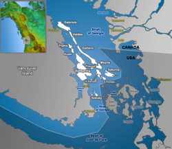
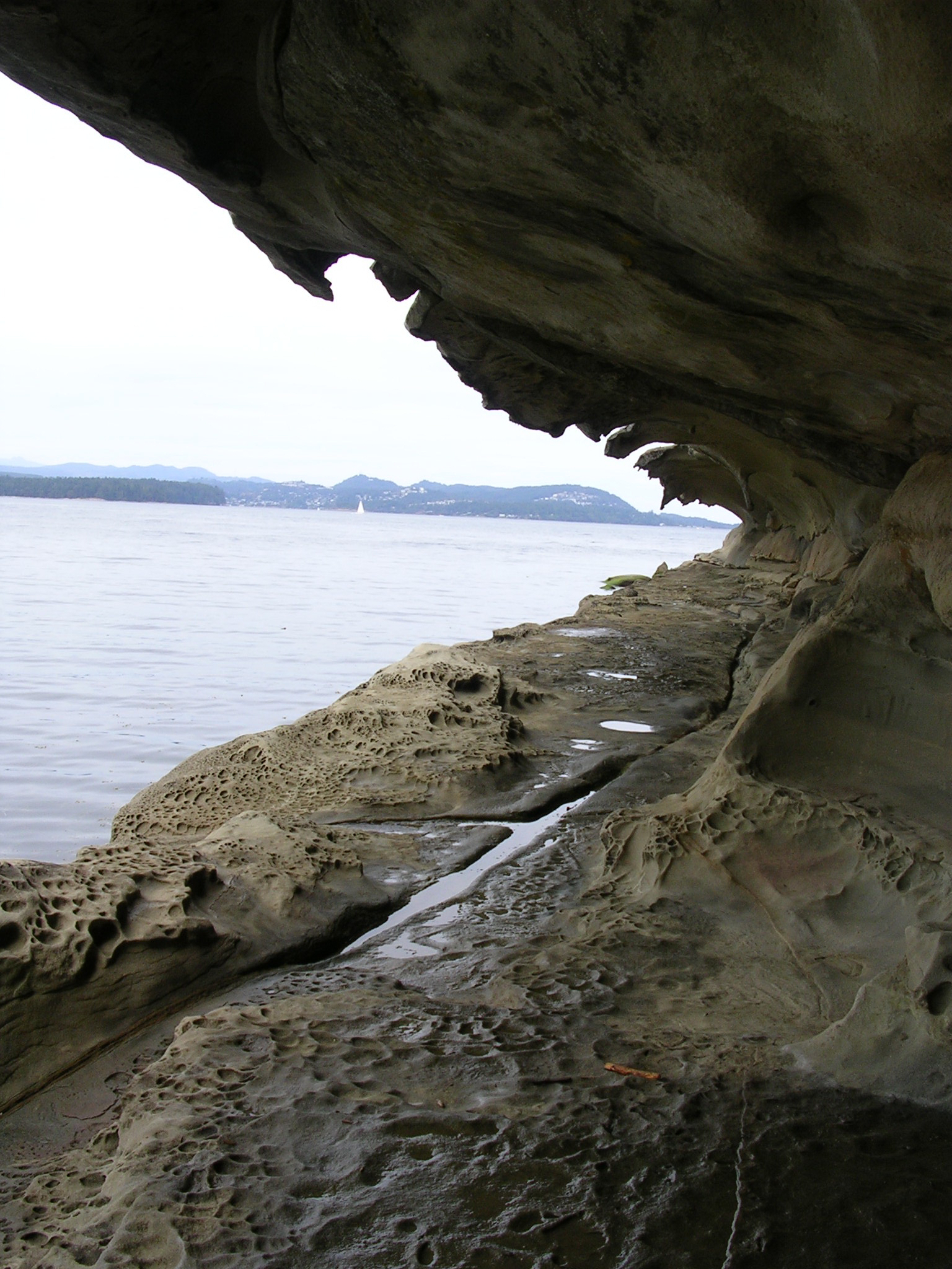
Gulf IslandsDaten Einwohner (2006) 4.050 Fläche 57,6 km² Bevölkerungsdichte (2006) 70,3 Einwohner / km²  Malaspina Galleries, die eine brechende Welle darstellen
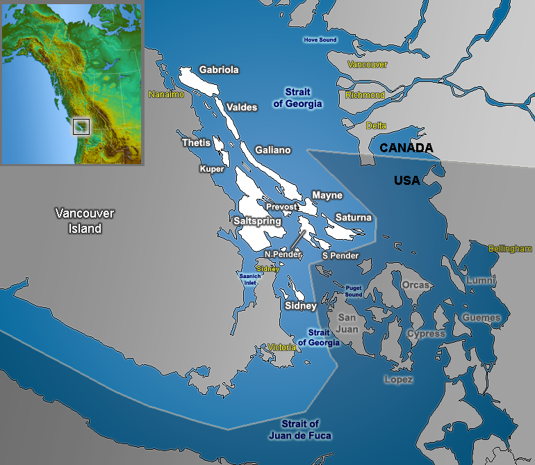
Gabriola Island ist eine Insel, die politisch zum Bezirk von Nanaimo (Nanaimo Regional District) gehört. Sie liegt an der Westküste von British Columbia, Kanada zwischen dem Festland und Vancouver Island (der Strait of Georgia) und gehört zu den Gulf Islands. Sie ist 14 km lang und 4,2 km breit mit einer Gesamtfläche von 57,6 km².
Inhaltsverzeichnis
Geschichte
Aufgrund der vielen Petroglyphen auf Gabriola ist es wahrscheinlich, dass schon vor 2000 Jahren Menschen auf der Insel gelebt haben. Auch etliche skurrile Sandsteinformationen wie die Malaspina Galleries, die nach Alessandro Malaspina benannt sind, sind auf der Insel zu finden.
Verkehr
Eine Fähre der BC Ferries verbindet die Insel mit Nanaimo, die übliche Fahrzeit beträgt 20 Minuten. Die Anlegestelle ist am westlichen Ende der Insel, in Richtung Nanaimo, errichtet worden. Die meisten Einwohner Gabriolas pendeln nach Nanaimo zur Arbeit und auch High School-Schüler müssen die Fähre nehmen, um zur Schule zu gelangen.
Es besteht auch eine direkte Route per Wasserflugzeug vom Vancouver International Airport zum östlichen Ende der Insel (Silva Bay).
Sport
Gabriola verfügt über einen Golfplatz mit neun Löchern.
Weblinks
49.15-123.78333333333Koordinaten: 49° 9′ N, 123° 47′ W
Wikimedia Foundation.