- Anartutu
-
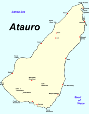 Die Insel Atauro
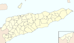

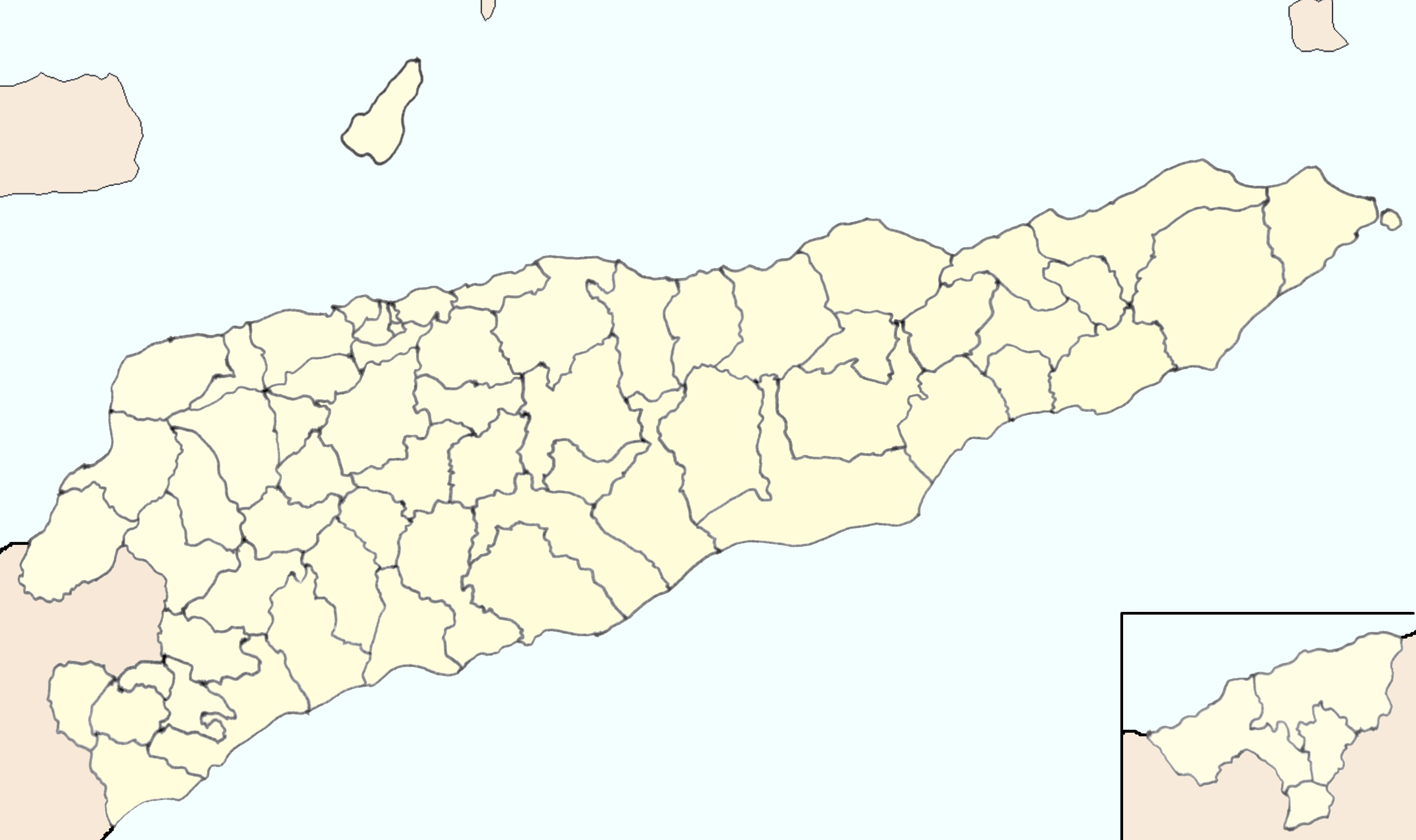
Macadade Lage von Macadade in OsttimorMacadade (ehemals Anartutu) ist einer der fünf Sucos und die zweitgrößte Ortschaft der osttimoresischen Insel Atauro (Distrikt Dili). Der Ort liegt im Süden der Insel in 121 Metern Höhe über dem Meer. Im Suco leben 1.436 Menschen (2004).
Mittwochs wird hier ein Markt abgehalten, auf dem Fisch, Ziegen, Gemüse und Hühner verkauft werden.
In der Umgebung von Vila wird der Dialekt Raklungu gesprochen, der zur Nationalsprache Wetar (auch Atauru oder Adabe) gehört. Der Dialekt wird vom ansässigen Adade-Stamm gesprochen.
-8.3125.53333333333Koordinaten: 8° 18′ S, 125° 32′ O

Wikimedia Foundation.