- Kostolne
-
Kostolné
Wappen Karte 

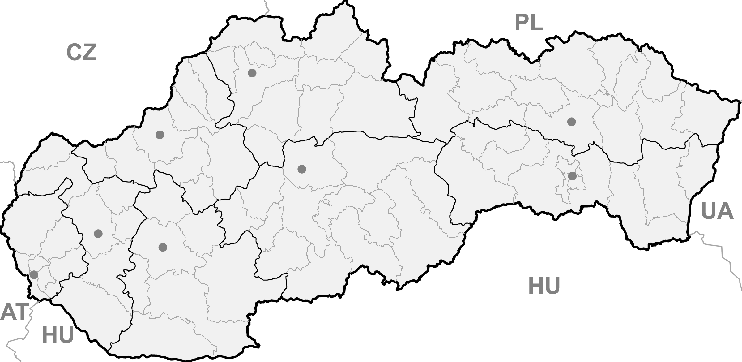
Kostolné BasisdatenLandschaftsverband (Kraj): Trenčiansky kraj Bezirk (Okres): Myjava Region: Stredné Považie Fläche: 10,10 km² Einwohner: 637 (31. Dezember 2004) Bevölkerungsdichte: 63,07 Einwohner je km² Höhe: 219 Meter Postleitzahl: 916 13 Telefonvorwahl: 032 Geographische Lage: 48° 44′ N, 17° 42′ O48.73277777777817.706388888889219Koordinaten: 48° 43′ 58″ N, 17° 42′ 23″ O Kfz-Kennzeichen: MY Gemeindekennziffer: 506141 StrukturGemeindeart: Gemeinde Verwaltung (Stand: März 2007)Bürgermeister: Miroslav Cibulka Adresse: Obecný úrad Kostolné
1
KostolnéGemeindeinformation
auf portal.gov.skStatistikinformation
auf statistics.skKostolné (ungarisch Nagyegyházas - bis 1902 Kosztolna) ist eine Gemeinde im Westen der Slowakei.
Lage und Allgemeines
Der Name der Gemeinde wurde zum erstem Mal im Jahre 1392 als Koztolna erwähnt.
Die Gemeinde liegt im Hügelland zwischen den Kleinen Karpaten im Süden und den Weißen Karpaten im Norden. Nové Mesto nad Váhom liegt zirka 15 Kilometer östlich der Gemeinde, Myjava zirka 5 Kilometer westlich, Senica etwa 35 Kilometer westlich.

Wikimedia Foundation.