- Muskoka District Municipality
-
Muskoka District Municipality 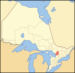
Lage von Muskoka in OntarioProvinz Ontario Verwaltungssitz Bracebridge Fläche 3890,24 km² Einwohner (2006) 57.563 Bevölkerungsdichte 14,8 Ew./km² Die Muskoka District Municipality ist eine Regional Municipality (Regionalgemeinde) im Zentrum der kanadischen Provinz Ontario. Hauptort und Sitz des Regionalrates ist Bracebridge. Die Einwohnerzahl beträgt 57.563 (2006), die Fläche 3890,24 km², was einer Bevölkerungsdichte von 14,8 Einwohnern je km² entspricht.
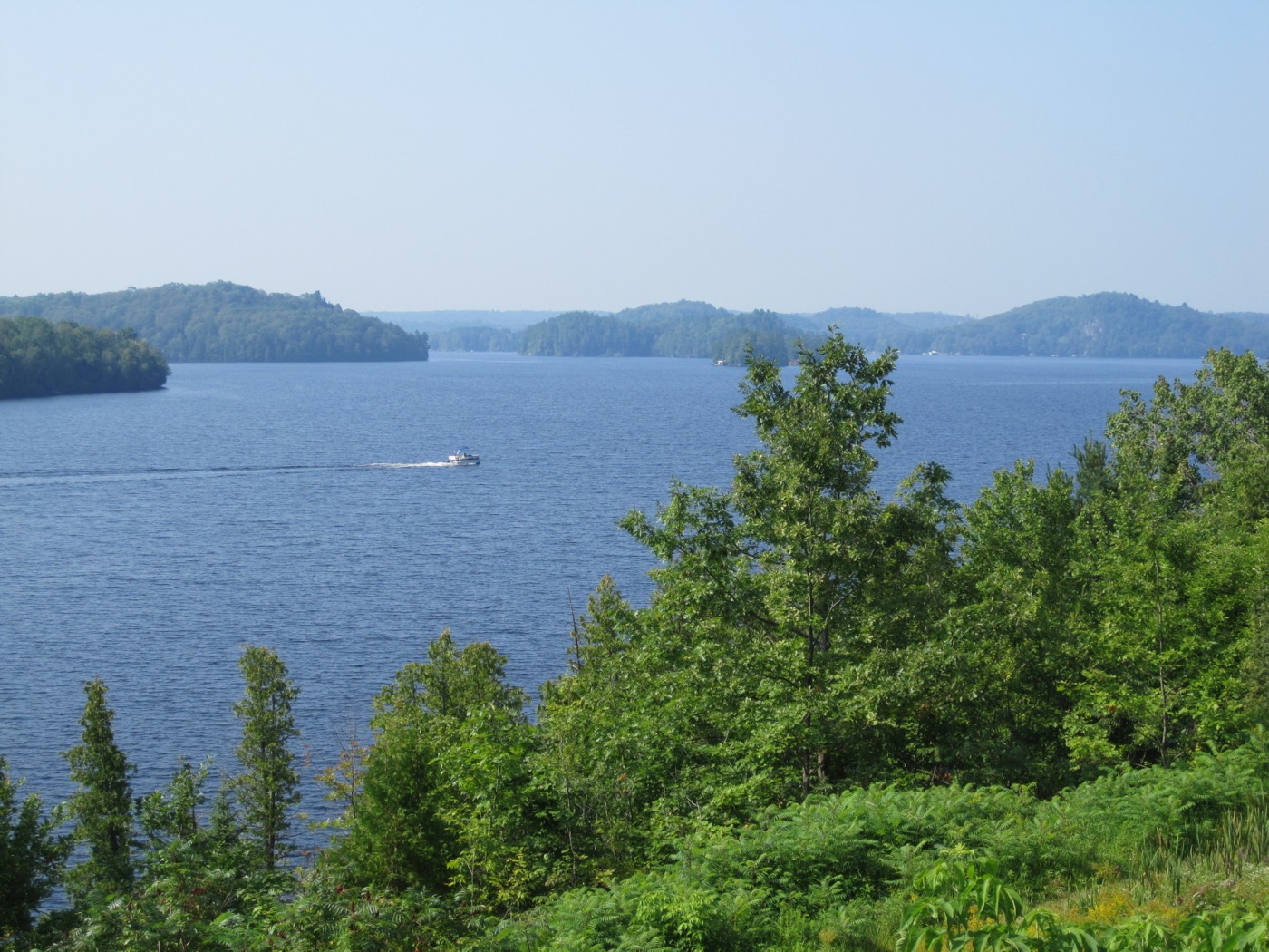
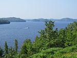 Fairy Lake, einer der zahlreichen Seen in Muskoka
Der Bezirk entstand am 1. Januar 1971. Im Westen grenzt er an die Georgian Bay des Huronsees, im Osten an den Algonquin Provincial Park und an Haliburton County. Von Toronto sind es über den Ontario Highway 400 und dem Ontario Highway 11 etwa 150 km.
Die Gegend ist bekannt für Fremdenverkehr und dient als Wochenendziel für viele Großstädter. Sie ist durchzogen von Wochenendhäusern (Cottages) und Lodges. In den Sommermonaten steigt die Zahl der Besucher steil an und übertrifft oft um ein vielfaches die Zahl der ständigen Einwohner. Urlauber schätzen die Natur und die vielen Seen. Weiterhin ist sie besonders bekannt für ihren Cranberry-Anbau. Besonders im Bereich Bala (Ontarios „Cranberry-Hauptstadt“) findet man ausgedehnte Cranberryfelder.
Gemeinden
- Bracebridge
- Georgian Bay
- Gravenhurst
- Huntsville
- Lake of Bays
- Muskoka Lakes
Weblinks

Einstufige Gemeinden: Brant | Brantford | Chatham-Kent | Greater Sudbury | Haldimand | Hamilton | Kawartha Lakes | Norfolk | Ottawa | Prince Edward | Toronto
Regionalgemeinden: Durham | Halton | Muskoka | Niagara | Oxford | Peel | Waterloo | York
Countys: Bruce | Dufferin | Elgin | Essex | Frontenac | Grey | Haliburton | Hastings | Huron | Lambton | Lanark | Leeds and Grenville | Lennox and Addington | Middlesex | Northumberland | Perth | Peterborough | Prescott and Russell | Renfrew | Simcoe | Stormont, Dundas and Glengarry | Wellington
Distrikte: Algoma | Cochrane | Kenora | Manitoulin | Nipissing | Parry Sound | Rainy River | Sudbury | Thunder Bay | Timiskaming
Wikimedia Foundation.
Schlagen Sie auch in anderen Wörterbüchern nach:
Muskoka District Municipality, Ontario — Infobox Settlement official name = Muskoka District Municipality nickname = motto = imagesize = image caption = image imagesize = image caption = image mapsize = 300px map caption = Map showing Muskoka District Municipality location in Ontario… … Wikipedia
District Municipality of Muskoka — For the Muskoka beer brand, see Lakes of Muskoka Cottage Brewery. Muskoka District Municipality Map showing Muskoka District Municipality location in Ontario Country Canada P … Wikipedia
Muskoka District municipal elections, 2010 — Elections will be held in the Muskoka District Municipality of Ontario on October 25, 2010 in conjunction with municipal elections across the province. Contents 1 Muskoka District Council 2 Bracebridge 3 Georgian Bay … Wikipedia
District municipality — A district municipality is a designation for a class of municipalities found in several locations, including Canada, Lithuania, and South Africa. Contents 1 Usage in British Columbia 2 Usage in Ontario 3 Usage in South Africa … Wikipedia
List of numbered roads in Muskoka District — This is a list of numbered roads in the District Municipality of Muskoka, Ontario. County Road # Local Name(s) Southern/Western Terminus Northern/Eastern Terminus Settlements served Additional Notes 1 Gravenhurst Parkway District Road 6 King s… … Wikipedia
Muskoka Lakes — Lage in Ontario … Deutsch Wikipedia
Muskoka Lakes — Not to be confused with Lake Muskoka. Township of Muskoka Lakes Township A typical lake scene in Muskoka Lakes … Wikipedia
Muskoka — Fairy Lake, einer der zahlreichen Seen in Muskoka Muskoka ist eine Landschaft in der kanadischen Provinz Ontario, die ab den 1860er Jahren von der Holzindustrie und von Siedlern in Besitz genommen wurde, nachdem die dort lebenden Anishinabe… … Deutsch Wikipedia
Muskoka Airport — IATA: YQA – ICAO: CYQA – WMO: 71630 Summary Airport type Public Operator District Municipality of Muskoka … Wikipedia
Muskoka Lakes, Ontario — Infobox City official name = Township of Muskoka Lakes other name = native name = nickname = motto = imagesize = image caption = A typical lake scene in Muskoka Lakes. flag size = image seal size = image shield = shield size = image blank emblem … Wikipedia
Muskoka District Municipality

18+
© Academic, 2000-2024
- Kontaktieren Sie uns: Unterstützung, Werbung
Wörterbücher Export, schritte mit PHP, Joomla, Drupal, WordPress, MODx.