- Arundel (West Sussex)
-
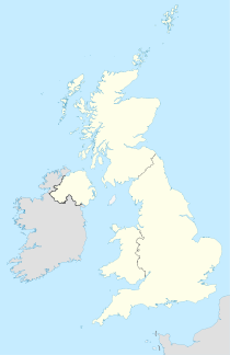

Arundel Lage von ArundelArundel ist eine Ortschaft im Süden Englands in der Grafschaft West Sussex. Überregionale Bekanntheit weist die Stadt wegen Arundel Castle auf, welches zu den besterhaltenen Schlössern des Mittelalters zählt.
In der Ortschaft, die rund 3000 Einwohner zählt, befindet sich eine einzigartige Kapelle, die in der Mitte durch eine Wand getrennt ist. Dies geht zurück auf den englischen Bürgerkrieg und war Teil einer Friedensvereinbarung zwischen den Protestanten und den Katholiken.
Der Fluss Arun, der die Stadt im Westen durchfließt, wurde nach der Ortschaft benannt und hieß früher Tarrant.
Weblinks
 Arundel Castle
 Kathedrale von Arundel50.854722222222-0.55472222222221Koordinaten: 50° 51′ N, 0° 33′ WKategorie:
- Ort in West Sussex


Wikimedia Foundation.