Puketutu Island

Puketutu Island

Vorlage:Infobox Insel/Wartung/Fläche fehltVorlage:Infobox Insel/Wartung/Höhe fehlt

Puketutu Island
Puketutu Island
Puketutu Island
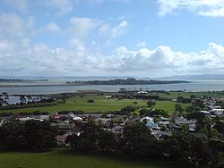
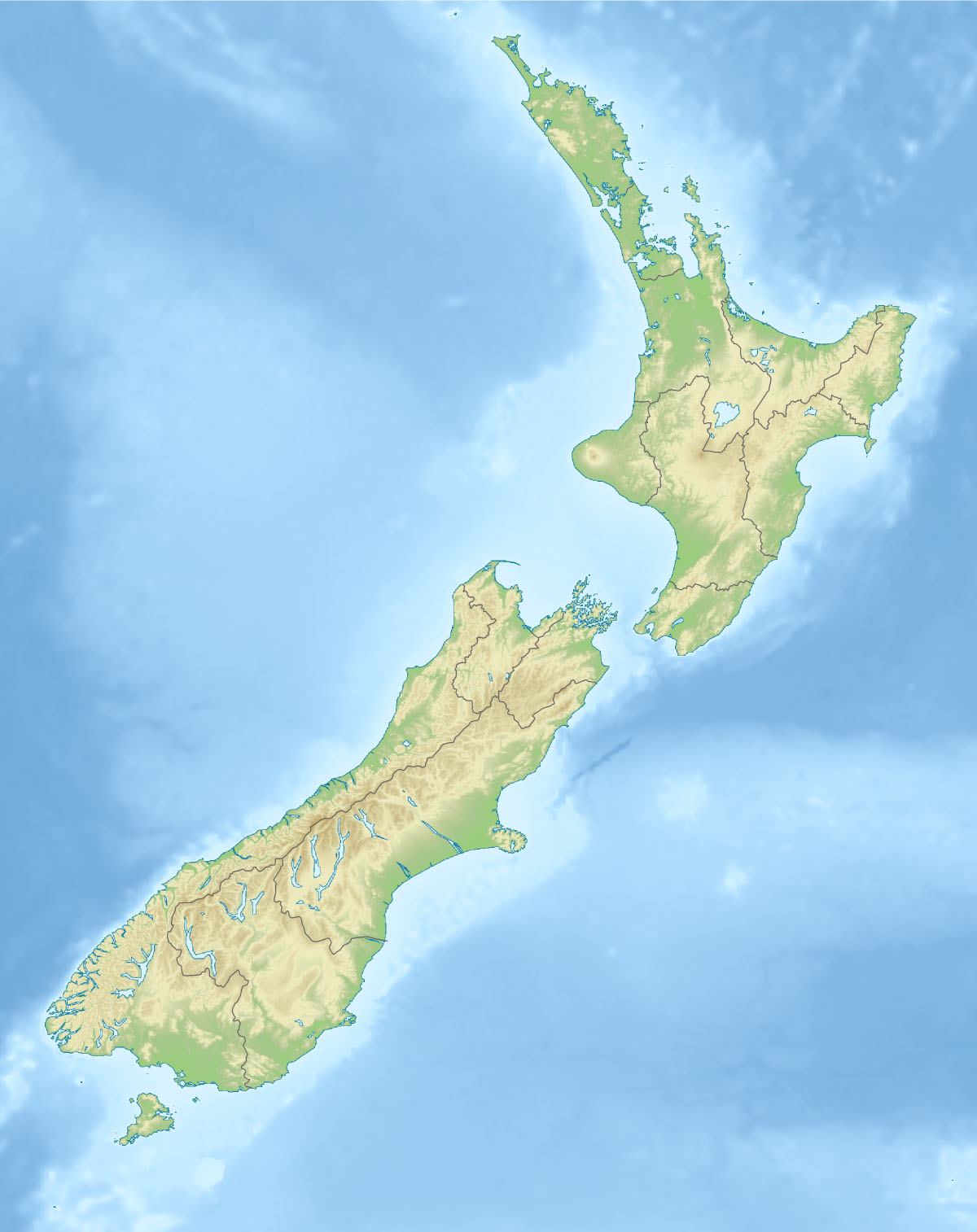
Gewässer
Geographische Lage 36° 57′ 43,25″ S, 174° 43′ 52,85″ O-36.962013888889174.73134722222Koordinaten: 36° 57′ 43,25″ S, 174° 43′ 52,85″ O
Puketutu Island (Neuseeland)
Puketutu Island
Einwohner (unbewohnt)

Puketutu Island ist eine Vulkaninsel im Manukau Harbour auf der der Nordinsel Neuseelands und Teil des Auckland Volcanic Field. In den 1950ern wurden die Schlackenkegel der Insel intensiv abgebaut, um als Füllmasse für den nahe gelegenen Flughafen Auckland zu dienen. Die Treuhandorganisation, der die bewaldete Insel heute gehört, hat einen Plan entworfen, nach dem die alte Form der Insel unter Verwendung von nachbehandeltem Klärschlamm der Kläranlage in Mangere wieder hergestellt werden soll. Dieser Prozess könnte bis zu 35 Jahre in Anspruch nehmen. Ziel ist, dass die Insel zu einem Park für die Region Auckland werden soll.[1]

Auf der Insel gab es in den letzten Jahrhunderten auch mehrere (Befestigungsanlagen der Māori), die aber zur Zeit der Ankunft der europäischen Kolonisten in der Gegend aufgegeben wurden.[2]

Einzelnachweise

  1. Redemption near for Puketutu - City of Fire, Beilage zum The New Zealand Herald 15. Februar 2008
  2. Website des Sir Henry J Kelliher Charitable Trust 21. Juni 2008

Wikimedia Foundation.

Игры ⚽ Нужен реферат?

Schlagen Sie auch in anderen Wörterbüchern nach:

  • Puketutu Island — is a volcanic island in the Manukau Harbour, New Zealand, and is part of the Auckland volcanic field. In the 1950s, its scoria cones were heavily quarried for fill to extend Auckland Airport nearby. The charitable trust now owning the forested… …   Wikipedia

  • North Island Main Trunk Railway — Infobox rail line logo = name = North Island Main Trunk image width = 300px caption = Map of the North Island Main Trunk Railway type = Main line system = New Zealand railway network status = Open locale = North Island, New Zealand start =… …   Wikipedia

  • Пукетуту — англ. Puketutu Island …   Википедия

  • HMS Orpheus (1861) — HMS Orpheus was a corvette of the Royal Navy (and also the flagship of the Australian squadron of the Royal Navy) that sank off the west coast of Auckland, New Zealand on February 7, 1863: 189 crew out of the ship s complement of 259 died in the… …   Wikipedia

  • Auckland volcanic field — The Auckland volcanic field is a generally monogenetic volcanic field in the North Island of New Zealand. Basaltic in nature, it underlies much of the metropolitan area of Auckland. The field s many vents have produced a diverse array of… …   Wikipedia

  • Manukau Harbour — Lage von Manukau Harbour in Neuseeland. Einfahrt zu Manukau Harbour …   Deutsch Wikipedia

  • Flagstaff War — Infobox Military Conflict conflict=Flagstaff War partof=New Zealand Wars caption= date=11 March 1845 11 January 1846 place=Northland, New Zealand result=Stalemate combatant1= Māori allies combatant2= Ngā Puhi commander1=flagicon|United Kingdom Lt …   Wikipedia

  • List of Māori battles — The list of Māori battles includes four types of battles: mythological from the “wars of the gods” Epos, inter tribal battles before the European contact found in Māori oral tradition, the Musket Wars battles, and those that took place between… …   Wikipedia

  • Mangere Lagoon — seen from Mangere Mountain. Mangere Lagoon is a lagoon in the Manukau Harbour, New Zealand. It occupies a volcanic crater or maar which is part of the Auckland volcanic field. Oval and about 600m long, it has a small restored scoria is …   Wikipedia

Share the article and excerpts

Direct link
Do a right-click on the link above
and select “Copy Link”