Taupiri Island

Taupiri Island

Vorlage:Infobox Insel/Wartung/Fläche fehlt

Taupiri Island
Taupiri Island (links), Cape Maria van Diemen (Mitte) und Motuapao Island (rechts)
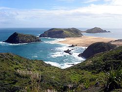
Gewässer Tasmansee
Geographische Lage 34° 28′ 46″ S, 172° 39′ 10″ O-34.479533476389172.6528072358369Koordinaten: 34° 28′ 46″ S, 172° 39′ 10″ O
Taupiri Island (Neuseeland)
Taupiri Island
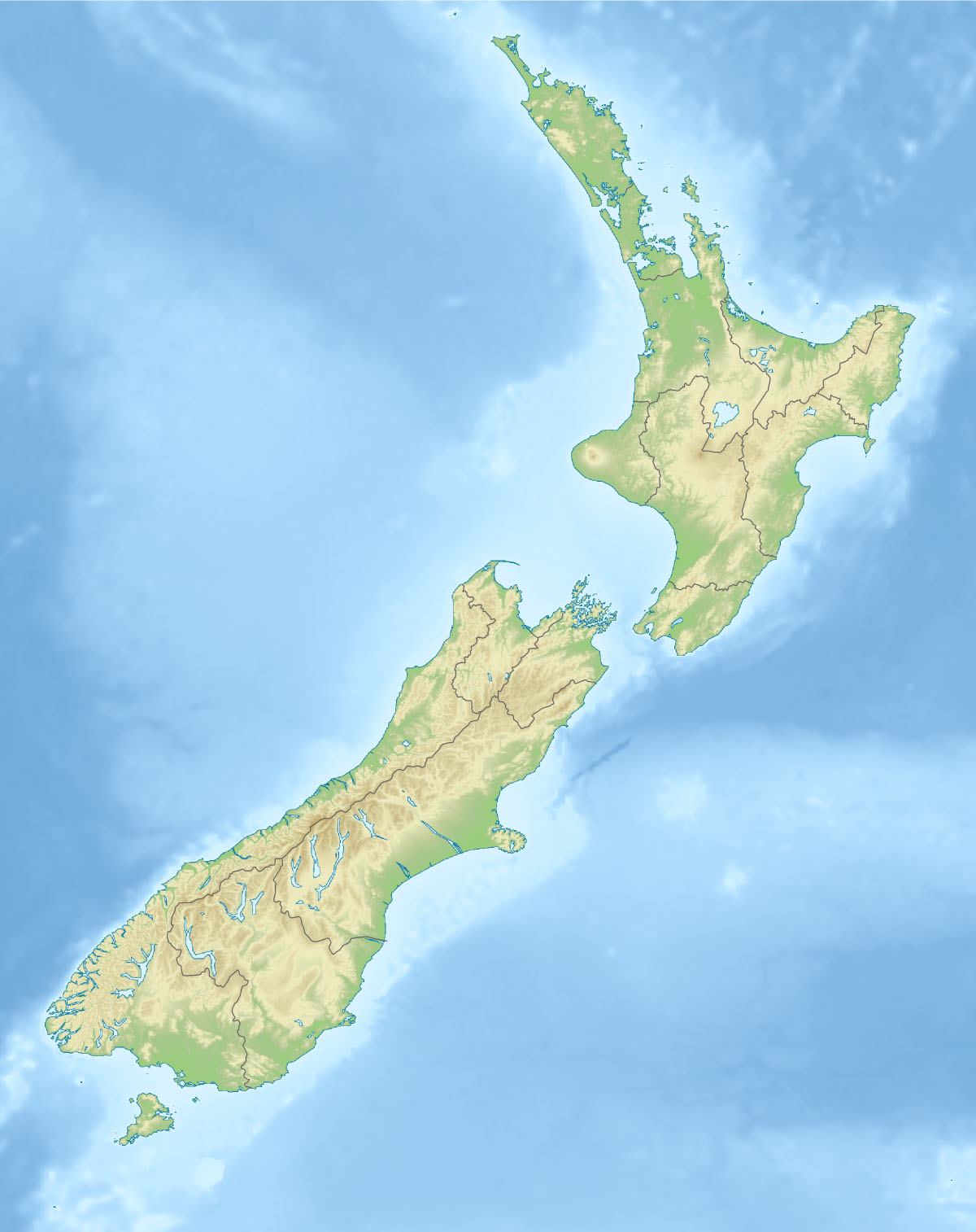
Länge 290 m
Breite 170 m
Höchste Erhebung 69 m
Einwohner (unbewohnt)

Taupiri Island ist eine kleine, unbewohnte Insel vor der Aupouri-Halbinsel in der Region Northland auf der Nordinsel Neuseelands. Sie befindet sich unmittelbar südlich vor der zum Cape Maria van Diemen führenden sandigen Landzunge und ist von dieser nur durch einen wenige Meter breiten, seichten Durchlass getrennt. Die Insel ist etwa 290 m lang und 170 m breit. Die Insel erreicht im Süden mit 69 m ihren höchsten Punkt.

Quellen


Wikimedia Foundation.

Игры ⚽ Нужна курсовая?

Schlagen Sie auch in anderen Wörterbüchern nach:

  • Motuopao Island — Vorlage:Infobox Insel/Wartung/Fläche fehlt Motuopao Island Taupiri Island (links), Cape Maria van Diemen (Mitte) und Motuapao Island (rechts) …   Deutsch Wikipedia

  • Cape Maria van Diemen — 34.472316666667172.64061944444 Koordinaten: 34° 28′ 20″ S, 172° 38′ 26″ O …   Deutsch Wikipedia

  • List of schools in the Waikato Region — The Waikato Region of the North Island of New Zealand contains numerous small rural primary schools, some small town primary and secondary schools, and city schools in Hamilton. The rolls given here are those provided by the Ministry of Education …   Wikipedia

  • New Zealand State Highway 1 — State Highway 1 Route information Maintained by …   Wikipedia

  • Urban areas of New Zealand — Statistics New Zealand defines New Zealand urban areas for statistical purposes. The urban areas comprise cities, towns and other conurbations (an aggregation or continuous network of urban communities) of a thousand people or more. In… …   Wikipedia

  • Marae — Taputapuātea, an ancient marae constructed of stone on Ra iātea in the Society Islands, restored in 1994. A marae (in New Zealand Māori, Cook Islands Māori, Tahitian) malaʻe (in Tongan), malae (in Samoan and Hawaiian …   Wikipedia

  • New Zealand State Highway 26 — State Highway 26 Route information Maintained by New Zealand Transport Agency Length: 96 km (60 mi) …   Wikipedia

  • List of Statutes of New Zealand (1800-1980) — This is a list of Statutes of New Zealand before 1980. For statutes of New Zealand since 1980, see List of Statutes of New Zealand (1980 present) 1800s 1830s 1837 * Wills Act 1840s 1846 * New Zealand Constitution Act 1846 (UK) 1850s 1852 * New… …   Wikipedia

  • Ja1250 "Diana" — JA 1250, also known as Diana , is a New Zealand JA class 4 8 2 steam tender locomotive locomotive owned by Phil Goldman. Currently she is operated by the Railway Enthusiasts Society and maintained by the Glenbrook Vintage Railway.HistoryJA 1250… …   Wikipedia

  • Ngāti Te Ata — Iwi of New Zealand Rohe (location) Manukau Heads Waka (canoe) Tainui Population unknow …   Wikipedia

Share the article and excerpts

Direct link
Do a right-click on the link above
and select “Copy Link”