- Kinlochleven
-
Kinlochleven Koordinaten 56° 43′ N, 4° 58′ W56.713888888889-4.9622222222222Koordinaten: 56° 43′ N, 4° 58′ W 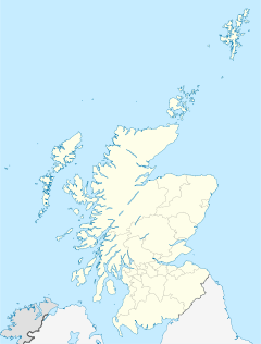

Kinlochleven Verwaltung Post town KINLOCHLEVEN Postleitzahlenabschnitt PH50 Vorwahl 01855 Landesteil Scotland Unitary authority Highland Britisches Parlament Ross, Skye and Lochaber Schottisches Parlament Skye, Lochaber and Badenoch  Kinlochleven
 Kinlochleven
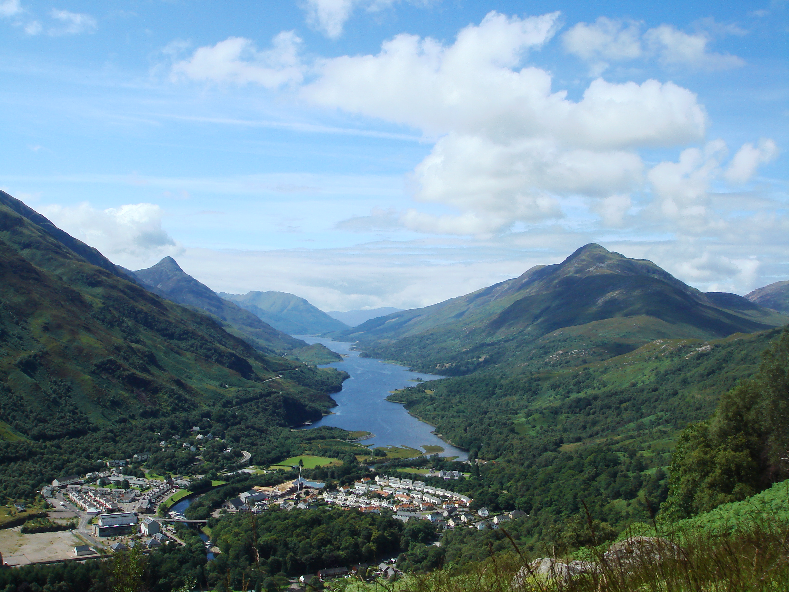
 Der Fluss Leven
Kinlochleven (schottisch-gälisch: Ceann Loch Lìobhann) ist ein Dorf mit etwa 880 Einwohnern (Schätzung 2004[1]) in Lochaber, Highlands, Schottland und liegt am östlichen Ende vom Loch Leven. Das Dorf liegt am Fuße der das Glen Coe umgebenden Berge.
Kinlochleven wird dominiert durch ein Aluminiumwerk. Das Aluminiumwerk wurde im Jahre 1907 von der British Aluminium Company gebaut (später zu einer Firma zusammengeführt mit Alcan) und wurde von den Brüdern Patrick und Charles Meik entwickelt.
Die Aluminiumhütte, in der in Spitzenzeiten bis zu 800 Mitarbeiter beschäftigt waren, wurde im Juni 2000, nach beinahe einem Jahrhundert, endgültig geschlossen.
In Kinlochleven befinden sich einige Hotels und Hostels, die von den Wanderern des West Highland Ways benutzt werden.
 Freitzeitzentrum „IceFactor“ in Gebäuden der ehemaligen Aluminiumhütte
Einzelnachweise
- ↑ Mid-2004 Population Estimates for Settlements in Scotland, General Register Office for Scotland
Weblinks
 Commons: Kinlochleven – Sammlung von Bildern, Videos und AudiodateienKategorie:
- Ort in der Unitary authority Highland


Wikimedia Foundation.