- Arran Coastal Way
-
 Machrie Bay auf dem Arran Coastal Way
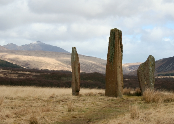
 Steinkreis von Machrie Moor
Der Arran Coastal Way ist ein schottischer Fernwanderweg. Er führt auf 105 Kilometern um die Isle of Arran. Ausgangspunkt der Wanderung ist Brodick. Von hier führt der Weg in fünf Etappen über Sannox, Lochranza, Blackwaterfoot und Whiting Bay wieder nach Brodick.
Der Weg ist über weite Strecken sehr einfach mit langen Straßenetappen oder Küstenpfaden, an Stellen wie dem Aufstieg auf den Goat Fell oder den Geröllfeldern an der Südküste erfordert er Kondition und Vorsicht. Insbesondere bei feuchtem Wetter ist er auf den zahlreichen sumpfigen Etappen anstrengend und auf felsigen Teilstücken bisweilen gefährlich.
Neben der abwechslungsreichen Landschaft (einsame Bergwelt im Norden, grüne Hügellandschaft im Süden) bietet der Weg viele Natur- und andere Sehenswürdigkeiten. Unterwegs lassen sich häufig Steinadler oder Robben beobachten. Sehenswürdigkeiten wie Brodick Castle und die Whiskybrennerei Arran liegen unmittelbar am Weg.
Sehenswürdigkeiten
Auf Arran finden sich zumeist nah am Wanderweg die Cairns bzw. Clyde tombs von:
- Carn Ban (abseitig)
- Monamore
- Torrylin
die Duns
- Kilpatrick
- Caisteal Torr (oder Torr a´Caistel)
die Steinkreise
- Auchagallon
- Machrie Moor mit Steinkisten und Menhiren an der Moss Farm Road
- Glen Cloy, bei Brodick, ist ein 2001 ausgegrabenes Roundhouse mit einem komplexen Souterrain aus dem 2. oder 1. Jahrhundert v. Chr.
Literatur
- Jacquetta Megarry: The Arran Coastal Way. Rucksack Readers, ISBN 978-1898481287
Weblinks
- Informationen zum Arran Coastal Way (englisch)
55.572778-5.245833Koordinaten: 55° 34′ N, 5° 15′ WKategorien:- Wanderweg (Vereinigtes Königreich)
- Isle of Arran

Wikimedia Foundation.