- Camden Hills State Park
-
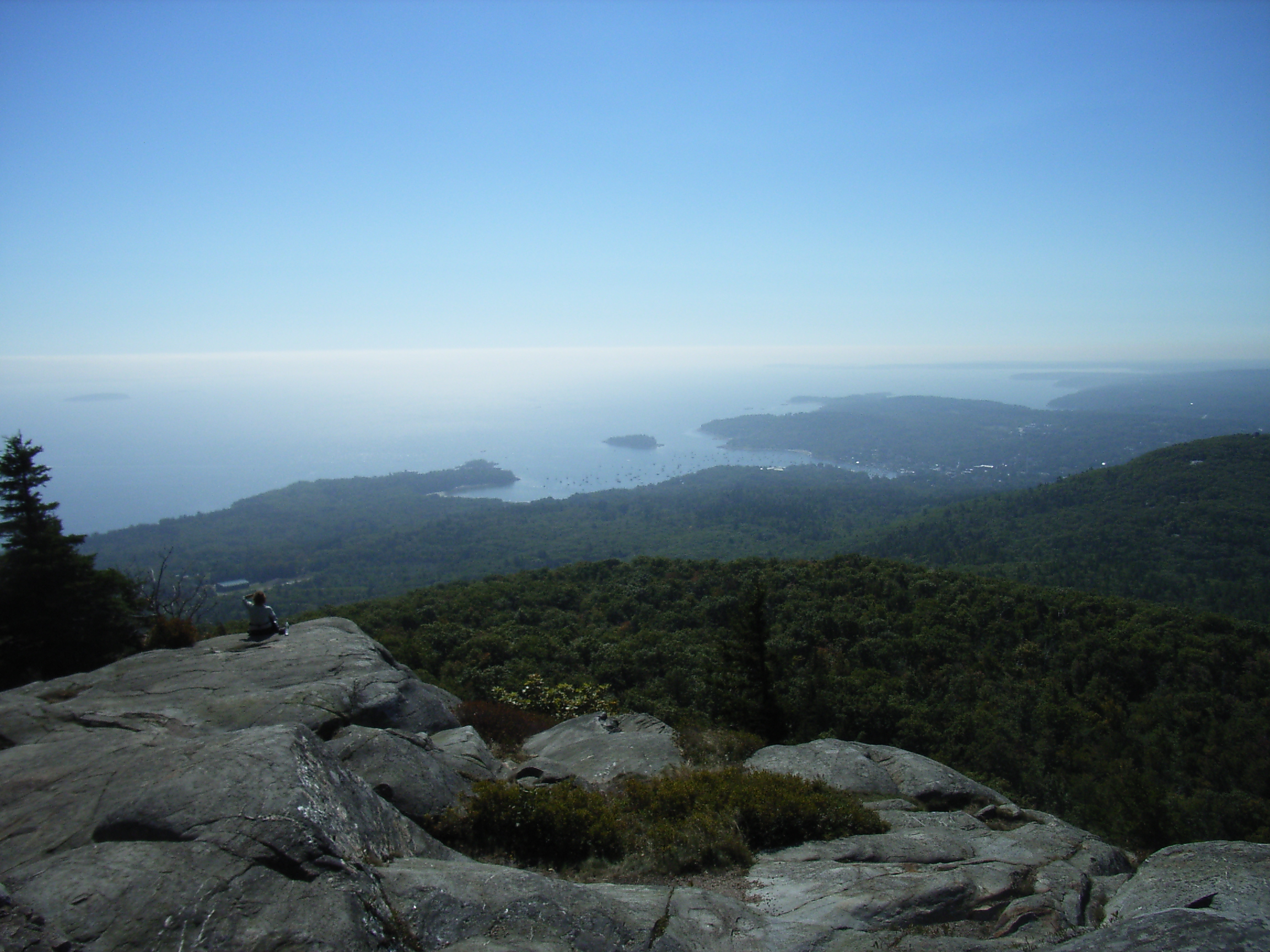
 Ausblick vom Ocean Outlook im Camden Hills State Park
Der Camden Hills State Park ist ein State Park im Knox County im US-Bundesstaat Maine. Der 23 Quadratkilometer große Park liegt in den Camden Hills, einem hügeligen, bewaldeten Gebiet nördlich der Stadt Camden. Im Park liegt der 260 Meter hohe Mount Battie, auf dessen Gipfel eine Fahrstraße führt und von wo man einen Panoramablick über Camden, die Penobscot Bay und bei klarer Sicht bis zum Cadillac Mountain im Acadia National Park hat. Die höchste Erhebung im Park ist der 422 Meter hohe Mount Megunticook.
Der Besuch des Parks ist gebührenpflichtig. Der Park verfügt über einen Campingplatz mit über 100 Stellplätzen, durch den Park führen 50 Kilometer Wanderwege. Der Park wurde in den 1930er Jahren vom National Park Service und vom Civilian Conservation Corps als Camden Hills Recreation Development Area angelegt. 1947 wurde er in Camden Hills State Park umbenannt.
Literatur
- Barbara Sinotte: Maine: A Guide to the State Parks, National Parks & Historic sites. Kindle Edition 2010
Weblinks
-
 Commons: Camden Hills State Park – Sammlung von Bildern, Videos und Audiodateien
 - Internetpräsenz des Parks
- Camden Hills auf der Tourismusinfo von Camden (engl.)
- Camden Hills State Park im Geographic Names Information System des United States Geological Survey
44.2425784-69.0594806Koordinaten: 44° 14′ 33″ N, 69° 3′ 34″ WKategorie:- State Park in Maine
Wikimedia Foundation.