- Janova Lehota
-
Janova Lehota
Wappen Karte 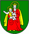
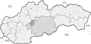

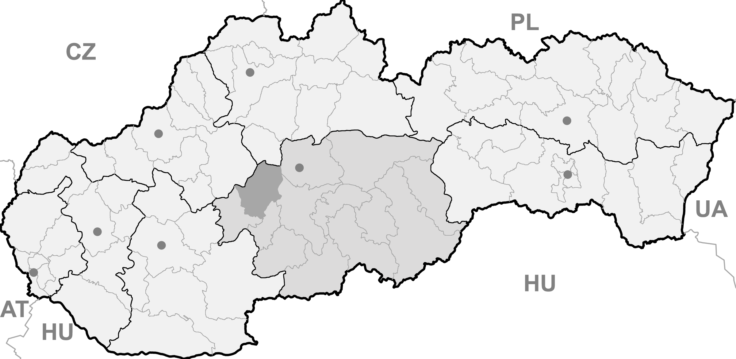
Janova Lehota BasisdatenKraj: Banskobystrický kraj Okres: Žiar nad Hronom Region: Pohronie Fläche: 17,67 km² Einwohner: 930 (31. Dez. 2010) Bevölkerungsdichte: 52,63 Einwohner je km² Höhe: 425 m n.m. Postleitzahl: 966 24 Telefonvorwahl: 0 45 Geographische Lage: 48° 39′ N, 18° 47′ O48.65611111111118.783055555556425Koordinaten: 48° 39′ 22″ N, 18° 46′ 59″ O Kfz-Kennzeichen: ZH Gemeindekennziffer: 516872 StrukturGemeindeart: Gemeinde Verwaltung (Stand: November 2010)Bürgermeister: Božena Kováčová Adresse: Obecný úrad Janova Lehota
96624 Janova LehotaWebpräsenz: www.janovalehota.sk Gemeindeinformation
auf portal.gov.skStatistikinformation
auf statistics.skJanova Lehota (bis 1927 slowakisch „Janová Lehôta“; deutsch Drexlerhau, ungarisch Jánosgyarmat - bis 1888 Janólehota) ist eine Gemeinde der Mittelslowakei.
Sie liegt nordwestlich der Stadt Žiar nad Hronom in den Ausläufern des Vogelgebirges (Vtáčnik).
Die Ortschaft wurde erstmals im Jahre 1487 als deutsche Siedlung mit dem Namen Drexlerhau erwähnt.
Bei der letzten Volkszählung im Jahre 2001 gaben 93,76 % der Einwohner an, Slowaken zu sein. außerdem gab es 0,59 % Roma, 1,29 % Ukrainer, 1,06 % Tschechen, 0,12 % Polen und 2,35 % Deutsche.
Die Mehrzahl der Bevölkerung ist römisch-katholisch (80,47 %), außerdem gibt es eine evangelische (3,41 %) und eine griechisch-orthodoxe (1,06 %) Minderheit. 11,29 % der Einwohner gaben an, konfessionslos zu sein.
Quellen
Weblinks
 Commons: Janova Lehota – Sammlung von Bildern, Videos und AudiodateienGemeinden im Okres Žiar nad Hronom
Bartošova Lehôtka | Bzenica (Senitz) | Dolná Trnávka | Dolná Ves (Schwabendorf) | Dolná Ždaňa | Hliník nad Hronom (Hlinick) | Horná Ves (Windischdorf) | Horná Ždaňa | Hronská Dúbrava | Ihráč | Janova Lehota (Drexlerhau) | Jastrabá | Kopernica (Deutschlitta) | Kosorín | Krahule (Blaufuß) | Kremnica (Kremnitz) | Kremnické Bane (Johannesberg) | Kunešov (Kuneschhau) | Ladomerská Vieska | Lehôtka pod Brehmi | Lovča (Großlotza) | Lovčica-Trubín | Lúčky (Honneshau) | Lutila (Windischlitta) | Nevoľné | Pitelová | Prestavlky | Prochot (Prochetzhau) | Repište | Sklené Teplice (Glashütten) | Slaská (Leskowitz) | Stará Kremnička (Altkremnitz) | Trnavá Hora | Vyhne (Eisenbach) | Žiar nad Hronom (Heiligenkreuz an der Gran)
Wikimedia Foundation.
Schlagen Sie auch in anderen Wörterbüchern nach:
Janova Lehota — (Village) Héraldique … Wikipédia en Français
Janova Lehota — ( de. Drexlerhau, Drechslerhau; hu. Jánosgyarmat) is a village and municipality in Žiar nad Hronom District in the Banská Bystrica Region of central Slovakia.HistoryIn historical records, the village was first mentioned in 1487 as a German… … Wikipedia
Lehota (Begriffsklärung) — Lehota ist der Name mehrerer Orte in der Slowakei Lehota , Gemeinde im Okres Nitra Lehota pod Vtáčnikom, Gemeinde im Okres Prievidza Lehota nad Rimavicou, Gemeinde im Okres Rimavská Sobota Janova Lehota, Gemeinde im Žiar nad Hronom Nová Lehota,… … Deutsch Wikipedia
Nová Lehota — (German: Neuhau) is a village and municipality in Prievidza District in the Trenčín Region of western Slovakia. Since 1976 it has been a part of the municipality of Handlová. History In historical records the village was first mentioned in 1487.… … Wikipedia
Liste der Städte und Gemeinden in der Slowakei/H-Ľ — Übersicht H bis Ľ Teil 1 A bis G Teil 2 H bis Ľ Teil 3 M bis R Teil 4 S bis Ž Übersicht H CH I J K L Ľ H Städte und Gemeinden … Deutsch Wikipedia
Liste der Städte und Gemeinden in der Slowakei Teil 2 — Übersicht H bis Ľ Teil 1 A bis G Teil 2 H bis Ľ Teil 3 M bis R Teil 4 S bis Ž Übersicht H CH I J K L Ľ H Städte und Gemeinden … Deutsch Wikipedia
List of municipalities and towns in Slovakia — Slovakia This is a comprehensive list of municipalities and towns in Slovakia. For lists of towns and municipalities sorted by Regions see the individual articles on Regions. For an outdated list of towns only in Slovakia see also List of towns… … Wikipedia
Banská Bystrica Region — Geobox | Region name = Banská Bystrica other name = category = Region image caption = image caption = symbol = symbol type = Coat of arms etymology = official name = motto = nickname = country = Slovakia country state = region = district =… … Wikipedia
Bartosova Lehotka — Bartošova Lehôtka Wappen Karte … Deutsch Wikipedia
Blajfus — Krahule Wappen Karte … Deutsch Wikipedia
Janova Lehota

18+
© Academic, 2000-2024
- Kontaktieren Sie uns: Unterstützung, Werbung
Wörterbücher Export, schritte mit PHP, Joomla, Drupal, WordPress, MODx.