- Aureed Island
-
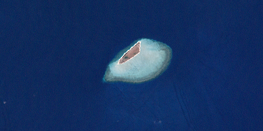
Aureed Island Landsat-Bild von Aureed
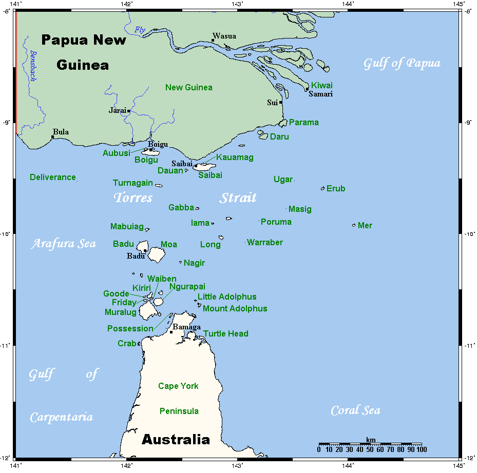
Gewässer Pazifischer Ozean Inselgruppe Bourke-Inseln Geographische Lage 9° 57′ 24″ S, 143° 17′ 41″ O-9.9567666666667143.2948251Koordinaten: 9° 57′ 24″ S, 143° 17′ 41″ O Länge 1,7 km Breite 410 m Fläche 0,60 km² Höchste Erhebung 1 m Einwohner (unbewohnt) Lage der Torres-Strait-Inseln
Aureed Island ist eine kleine Koralleninsel im Zentrum des Archipels der Torres-Strait-Inseln. Die flache Insel ist 1,7 Kilometer lang und maximal gut 400 Meter breit. Sie liegt im nordwestlichen Bereich einer 6,30 km großen Riffplattform. Sie ragt kaum einen Meter über Meeresniveau und ist auch nur spärlich bewachsen.
Aureed ist flächenmäßig die größte Insel der sieben Bourke-Inseln und gehört verwaltungstechnisch zu den Central Islands, einer Inselregion im Verwaltungsbezirk Torres Shire des australischen Bundesstaats Queensland.
Die Insel ist unbewohnt.
Siehe auch
Inselregionen, Hauptinseln und Inselgruppen im Archipel der Torres-Strait-Inselnzu Papua-Neuguinea gehörige Torres-Strait-Inseln: Bristow Island | Daru Island | Parama Island • Kawai-Inseln | Talbot-Inseln
Top Western: Boigu | Dauan | Deliverance | Saibai | Turnagain • Talbot-Inseln
Western: Badu | Mabuiag | Moa | Portlock | Tobin • Bellevue-Inseln | Duncan-Inseln | Farewell-Inseln | Kulbi-Inseln
Central: Aureed | Bourke | Coconut | Sassie | Sue | Yam | Yorke • Bourke-Inseln | The Three Sisters | Yorke-Inseln
Eastern: Bramble | Darnley | Murray | Stephens • Murray-Inseln
Inner: Albany | Booby | Crab | Entrance | Friday | Goods | Hammond | Horn | Packe | Port Lihou | Prince-of-Wales | Thursday | Wednesday • Manar-Inseln | Red-Wallis-Inseln | Thursday-Inseln | Tuesday-Inseln
Wikimedia Foundation.
Schlagen Sie auch in anderen Wörterbüchern nach:
Thursday Island — Landsat Bild von Thursday Island (unten) und Hammond Island (oben) … Deutsch Wikipedia
Sassie Island — (Long Island) Landsat Bild von Sassie Island Gewässer Pazifischer Oze … Deutsch Wikipedia
Yorke Island (Queensland) — Yorke Island (Masig Island) is a coral cay situated in the Eastern area of the central island group in the Torres Strait, at the top end of the Great Barrier Reef and Northwest of the tip of Cape York Peninsula in Queensland, Australia. It lies… … Wikipedia
Friday Island (Torres Strait) — Friday Island Landsat Bild von Friday Island Gewässer Pazifischer Ozea … Deutsch Wikipedia
Parama Island — (Bampton Island) Landsat Bild von Parama Island (Anm.: unter den Wolken!) Gewäss … Deutsch Wikipedia
Stephens Island (Torres Strait) — Stephens Island (Ugar) Landsat Bild der Insel mit dem wesentlich größeren umgebenden Korallenriff … Deutsch Wikipedia
Badu Island — w1 Badu Island Landsat Bild von Badu Island Gewässer Torres Straße … Deutsch Wikipedia
Goods Island — (Palilug) Landsat Bild von Goods Island Gewässer … Deutsch Wikipedia
Hammond Island — w1 Hammond Island Landsat Bild von Hammond Island (oben, Norden) und Thursday … Deutsch Wikipedia
Horn Island (Torres Strait) — Horn Island Landsat Bild von Horn Island (Bildmitte) Gewässer Pa … Deutsch Wikipedia
Aureed Island
18+
© Academic, 2000-2024
- Kontaktieren Sie uns: Unterstützung, Werbung
Wörterbücher Export, schritte mit PHP, Joomla, Drupal, WordPress, MODx.