- Sebechleby
-
Sebechleby
Wappen Karte 
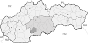

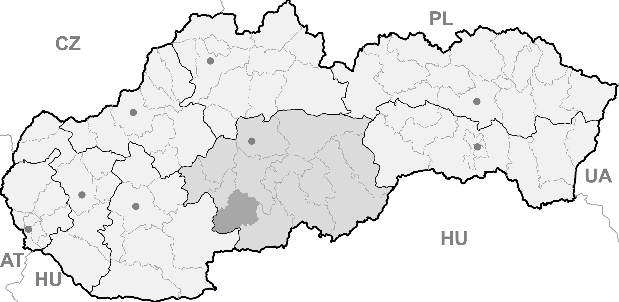
Sebechleby BasisdatenKraj: Banskobystrický kraj Okres: Krupina Region: Poiplie Fläche: 30,422 km² Einwohner: 1.220 (31. Dez. 2010) Bevölkerungsdichte: 40,1 Einwohner je km² Höhe: 236 m n.m. Postleitzahl: 962 66 Telefonvorwahl: 0 45 Geographische Lage: 48° 17′ N, 18° 57′ O48.27527777777818.953055555556236Koordinaten: 48° 16′ 31″ N, 18° 57′ 11″ O Kfz-Kennzeichen: KA Gemeindekennziffer: 518735 StrukturGemeindeart: Gemeinde Verwaltung (Stand: November 2011)Bürgermeister: Martin Schvarc Adresse: Obecný úrad Sebechleby
č. 1
962 66 SebechlebyWebpräsenz: www.sebechleby.com Gemeindeinformation
auf portal.gov.skStatistikinformation
auf statistics.skSebechleby (deutsch Siebenbrot oder Klieb, ungarisch Szebelléb) ist ein Ort und eine Gemeinde in der Mitte der Slowakei, mit 1220 Einwohnern (Stand 31. Dezember 2010) und liegt im Okres Krupina, einem Kreis des Banskobystrický kraj.
Geographie
Die Gemeinde liegt am Südhang der Schemnitzer Berge am Bach Belujský potok, 13 Kilometer südwestlich von Krupina und 30 Kilometer östlich von Levice gelegen. Traditionell gehört sie zur Landschaft Hont.
Geschichte
Der Ort wurde zum ersten Mal 1135 als Zebehgleb schriftlich erwähnt. Im frühen 13. Jahrhundert ließen sich deutsche Kolonisten aus dem sächsischen Sprachraum nieder, die zusammen mit den ansässigen Magyaren und Slawen „Wälder rodeten und das Boden urbar machten“. 1233 wird die romanische Kirche erwähnt. 1412 erhielt der Ort vom König Sigismund das Stadtrecht und wird zum Städtchen. Im Zuge der 16. und 17. Jahrhundert wurde der Ort während der Türkenkriege mehrmals in Mitleidenschaft gezogen, wie in 1543, 1626 oder 1676. Zwar tagte die Versammlung der Gespanschaft Hont in Siebenbrot, auf Grund des immer dauernden Kriegs konnte es nicht wieder ein Städtchen werden. 1828 hatte der Ort 177 Häuser und 1.057 Einwohner und die Bevölkerung war in der Landwirtschaft, Obst- und Weinbau tätig, früher (17./18. Jh.) waren auch Handwerke verbreitet.
Sehenswürdigkeiten
- römisch-katholische Kirche aus dem Jahr 1608, auf dem Platz der älteren romanischen Kirche
- Denkmalreservat der Volksarchitektur Stará Hora mit Weinbaukellern, -häuser (lokal chyžky genannt) und der Kapelle des Hl. Urban
Gemeinden im Okres KrupinaBzovík | Cerovo | Čabradský Vrbovok | Čekovce | Devičie | Dolné Mladonice (Untermladunitz) | Dolný Badín (Unterbadin) | Domaníky | Drážovce (Dahowitz) | Drienovo | Dudince (Dudintze) | Hontianske Moravce | Hontianske Nemce (Nemtze) | Hontianske Tesáre (Dessir) | Horné Mladonice (Obermladunitz) | Horný Badín (Oberbadin) | Jalšovík | Kozí Vrbovok | Kráľovce-Krnišov | Krupina (Karpfen) | Lackov | Ladzany (Lasan) | Lišov | Litava | Medovarce (Medowaritz) | Rykynčice (Ruckinschitz) | Sebechleby (Siebenbrot) | Selce | Senohrad | Sudince (Sedimitz) | Súdovce (Sudowatz) | Terany (Terin) | Trpín | Uňatín | Zemiansky Vrbovok | Žibritov
Wikimedia Foundation.
Schlagen Sie auch in anderen Wörterbüchern nach:
Sebechleby — (Village) Administration Pays Slovaquie … Wikipédia en Français
Sebechleby — Geobox | Settlement name = Sebechleby other name = category = Village image caption = symbol = etymology = official name = motto = nickname = country = Slovakia country state = region = Banská Bystrica district = Krupina municipality = part =… … Wikipedia
Banská Bystrica Region — Geobox | Region name = Banská Bystrica other name = category = Region image caption = image caption = symbol = symbol type = Coat of arms etymology = official name = motto = nickname = country = Slovakia country state = region = district =… … Wikipedia
Dudince — Coordinates: 48°10′00″N 18°52′58″E / 48.1666667°N 18.88278°E / 48.1666667; 18.88278 … Wikipedia
Krupina District — Infobox Slovak district subject name = Krupina District region district slovak region = Banská Bystrica Region population = 22,841 (2001) prefix = ? area = 585 car plate = KA image location = Okres krupina.png Krupina District ( okres Krupina )… … Wikipedia
Tourism in Slovakia — offers natural landscapes, mountains, caves, medieval castles and towns, folk architecture, spas and ski resorts.More than 1.6 million people visited Slovakia in 2006, and the most attractive destinations are the capital of Bratislava and the… … Wikipedia
Cerovo — Krupina in the Banská Bystrica Region Cerovo (earlier Čerové, Čerowo; Hungarian: Ceri) is a village and municipality in the Krupina District of the Banská Bystrica Region of Slovakia. History The village was first … Wikipedia
Devičie — Krupina in the Banská Bystrica Region Devičie (Hungarian: Devicse) is a village and municipality in the Krupina District of the Banská Bystrica Region of Slovakia. History Settlements from the Bronze Age … Wikipedia
Dolné Mladonice — Krupina in the Banská Bystrica Region Dolné Mladonice (Hungarian: Alsólégénd) is a village and municipality in the Krupina District of the Banská Bystrica Region of Slovakia. History In historical record … Wikipedia
Dolný Badín — Krupina in the Banská Bystrica Region Dolný Badín (Hungarian: Alsóbágyon, earlier Alsóbadin) is a village and municipality in the Krupina District of the Banská Bystrica Region of Slovakia. History The area of the village … Wikipedia
Sebechleby

18+
© Academic, 2000-2024
- Kontaktieren Sie uns: Unterstützung, Werbung
Wörterbücher Export, schritte mit PHP, Joomla, Drupal, WordPress, MODx.