- Súdovce
-
Súdovce
Wappen Karte 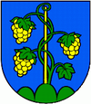
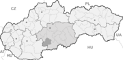

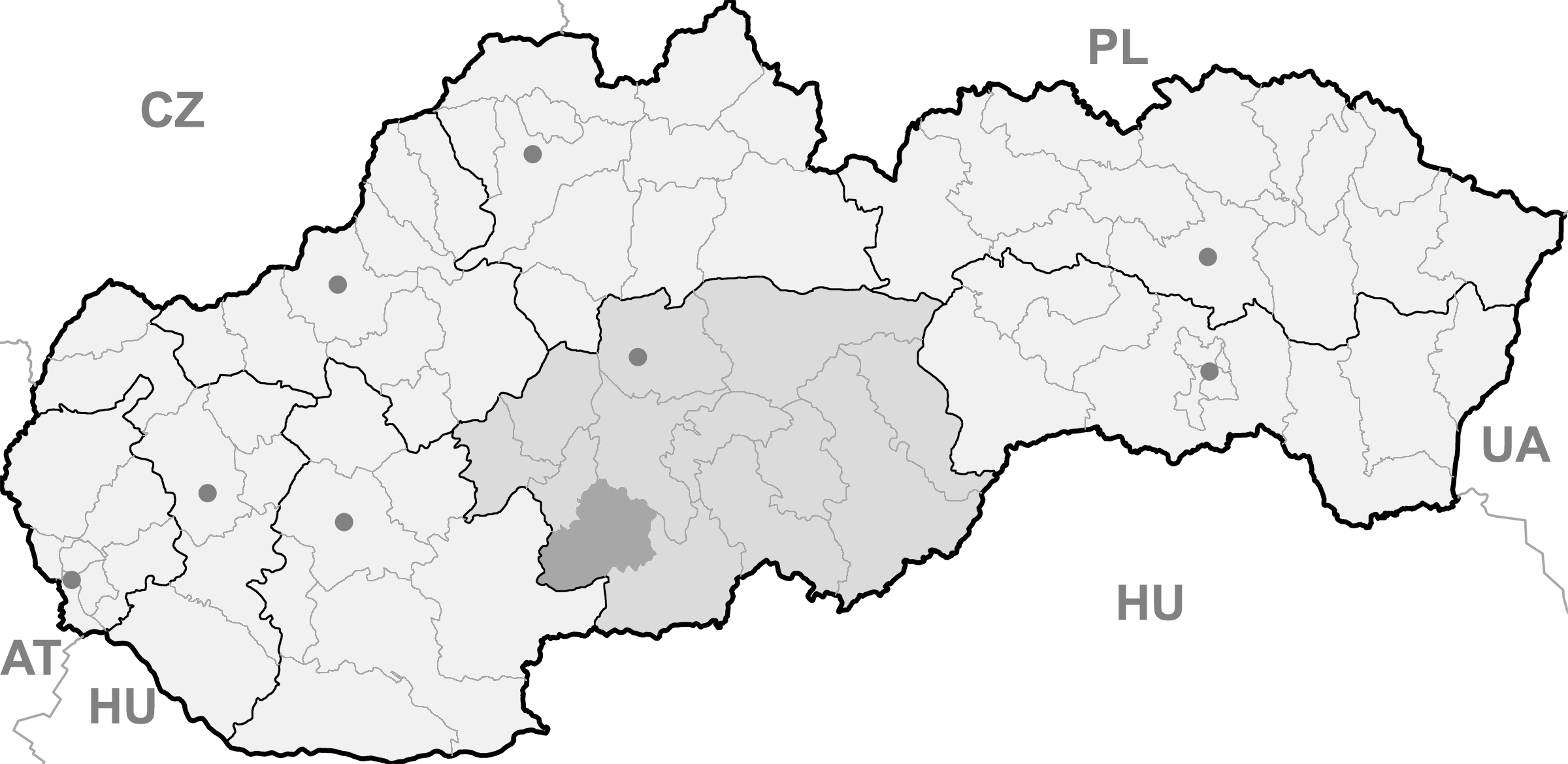
Súdovce BasisdatenKraj: Banskobystrický kraj Okres: Krupina Region: Poiplie Fläche: 9,77 km² Einwohner: 232 (31. Dez. 2010) Bevölkerungsdichte: 23,75 Einwohner je km² Höhe: 160 m n.m. Postleitzahl: 962 70 Telefonvorwahl: 0 45 (Postamt Hontianske Moravce) Geographische Lage: 48° 13′ N, 18° 50′ O48.20888888888918.836111111111160Koordinaten: 48° 12′ 32″ N, 18° 50′ 10″ O Kfz-Kennzeichen: KA Gemeindekennziffer: 518841 StrukturGemeindeart: Gemeinde Verwaltung (Stand: November 2010)Bürgermeister: Priska Fantová Adresse: Obecný úrad Súdovce
č.113
96270 Hontianske MoravceGemeindeinformation
auf portal.gov.skStatistikinformation
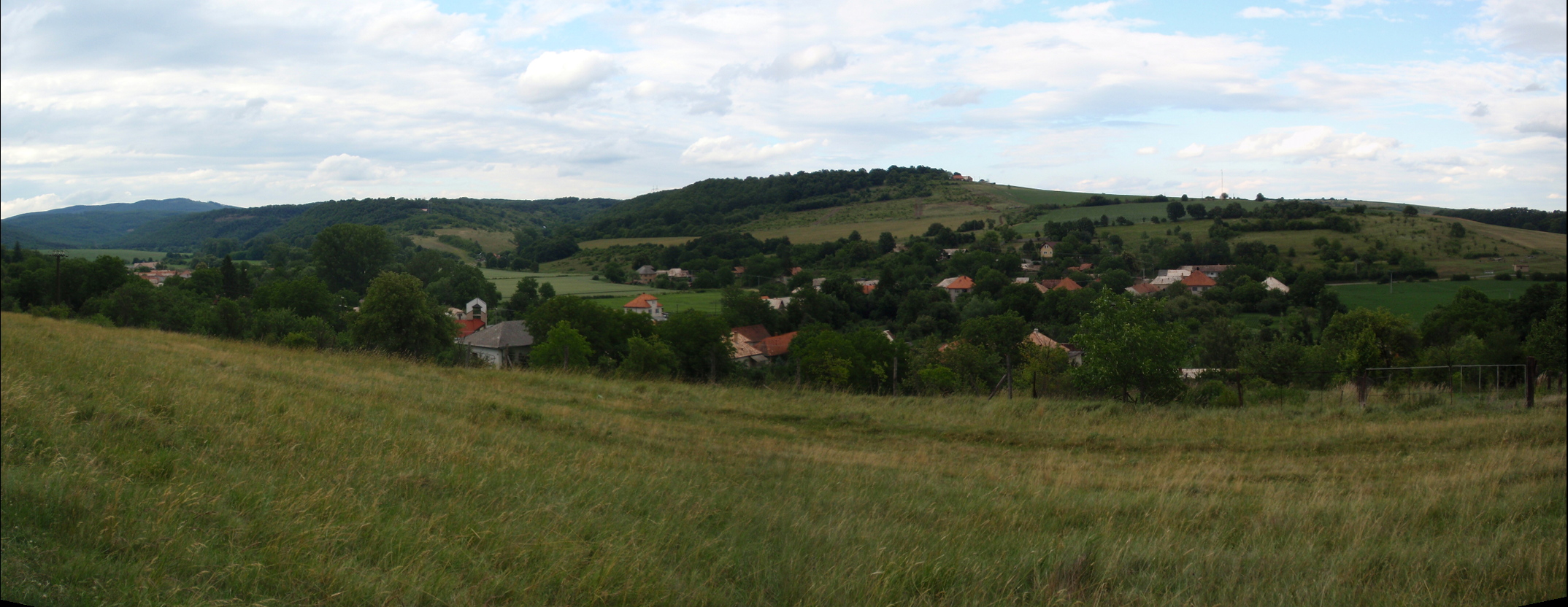
auf statistics.skSúdovce (deutsch Sudowatz, ungarisch Szúd) ist eine Gemeinde im Okres Krupina in der Slowakei und liegt auf einer Höhe von 160 Metern über dem Meeresspiegel im Banskobystrický kraj der Mittelslowakei.
 Súdovce
Die erste schriftliche Erwähnung stammt aus dem Jahr 1244 oder 1256 (als Zuud).
Weblinks
 Commons: Súdovce – Sammlung von Bildern, Videos und AudiodateienGemeinden im Okres Krupina
Bzovík | Cerovo | Čabradský Vrbovok | Čekovce | Devičie | Dolné Mladonice (Untermladunitz) | Dolný Badín (Unterbadin) | Domaníky | Drážovce (Dahowitz) | Drienovo | Dudince (Dudintze) | Hontianske Moravce | Hontianske Nemce (Nemtze) | Hontianske Tesáre (Dessir) | Horné Mladonice (Obermladunitz) | Horný Badín (Oberbadin) | Jalšovík | Kozí Vrbovok | Kráľovce-Krnišov | Krupina (Karpfen) | Lackov | Ladzany (Lasan) | Lišov | Litava | Medovarce (Medowaritz) | Rykynčice (Ruckinschitz) | Sebechleby (Siebenbrot) | Selce | Senohrad | Sudince (Sedimitz) | Súdovce (Sudowatz) | Terany (Terin) | Trpín | Uňatín | Zemiansky Vrbovok | Žibritov
Wikimedia Foundation.
Schlagen Sie auch in anderen Wörterbüchern nach:
Súdovce — Bandera … Wikipedia Español
Súdovce — (Village) Administration Pays … Wikipédia en Français
Súdovce — Sudovce is a village and municipality in the Krupina District of the Banská Bystrica Region of Slovakia … Wikipedia
Судовце (район Крупина) — Деревня Судовце Súdovce Страна СловакияСловакия … Википедия
Banská Bystrica Region — Geobox | Region name = Banská Bystrica other name = category = Region image caption = image caption = symbol = symbol type = Coat of arms etymology = official name = motto = nickname = country = Slovakia country state = region = district =… … Wikipedia
Dudince — Coordinates: 48°10′00″N 18°52′58″E / 48.1666667°N 18.88278°E / 48.1666667; 18.88278 … Wikipedia
Krupina District — Infobox Slovak district subject name = Krupina District region district slovak region = Banská Bystrica Region population = 22,841 (2001) prefix = ? area = 585 car plate = KA image location = Okres krupina.png Krupina District ( okres Krupina )… … Wikipedia
Cerovo — Krupina in the Banská Bystrica Region Cerovo (earlier Čerové, Čerowo; Hungarian: Ceri) is a village and municipality in the Krupina District of the Banská Bystrica Region of Slovakia. History The village was first … Wikipedia
Devičie — Krupina in the Banská Bystrica Region Devičie (Hungarian: Devicse) is a village and municipality in the Krupina District of the Banská Bystrica Region of Slovakia. History Settlements from the Bronze Age … Wikipedia
Dolné Mladonice — Krupina in the Banská Bystrica Region Dolné Mladonice (Hungarian: Alsólégénd) is a village and municipality in the Krupina District of the Banská Bystrica Region of Slovakia. History In historical record … Wikipedia
Súdovce

18+
© Academic, 2000-2024
- Kontaktieren Sie uns: Unterstützung, Werbung
Wörterbücher Export, schritte mit PHP, Joomla, Drupal, WordPress, MODx.