- Barnard River
-
Barnard River 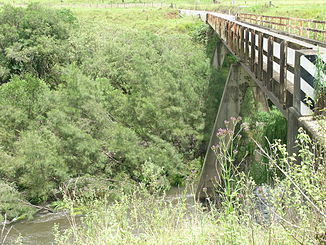
Brücke des Thunderbolts Way über den Barnard River nördlich von Bretti
Daten Lage New South Wales, Australien Flusssystem Manning River Abfluss über Manning River → Tasmansee Quelle bei Hanging Rock (Great Dividing Range nördlich des Ben-Halls-Gap-Nationalparks)
31° 30′ 23″ S, 151° 13′ 15″ O-31.506388888889151.220833333331330Quellhöhe 1.330 m[1] Mündung Manning River bei Bretti -31.788611111111151.9180555555694Koordinaten: 31° 47′ 19″ S, 151° 55′ 5″ O
31° 47′ 19″ S, 151° 55′ 5″ O-31.788611111111151.9180555555694Mündungshöhe 94 m[1] Höhenunterschied 1.236 m Länge 148 km[1] Rechte Nebenflüsse Ben Halls Creek, Schofields Creek, Orham Creek, Curricabark River Linke Nebenflüsse Back River, Tomalla Creek, Myall Creek Der Barnard River ist ein Fluss im Osten des australischen Bundesstaates New South Wales.
Geografie
Er entspringt bei Hanging Rock in der Great Dividing Range nördlich des Ben-Halls-Gap-Nationalparks. Von dort fließt er nach Südosten und mündet bei Bretti östlich des Woko-Nationalparks in den Manning River.
Nebenflüsse[1] mit Mündungshöhen
- Ben Halls Creek – 633 m
- Back River – 548 m
- Tomalla Creek – 503 m
- Schofields Creek – 366 m
- Orham Creek – 344 m
- Myall Creek – 195 m
- Curricabark River – 170 m
Einzelnachweise
Kategorien:- Flusssystem Manning River
- Fluss in New South Wales
- Fluss in Australien und Ozeanien

Wikimedia Foundation.