- Klehini River
-
Klehini River 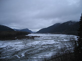
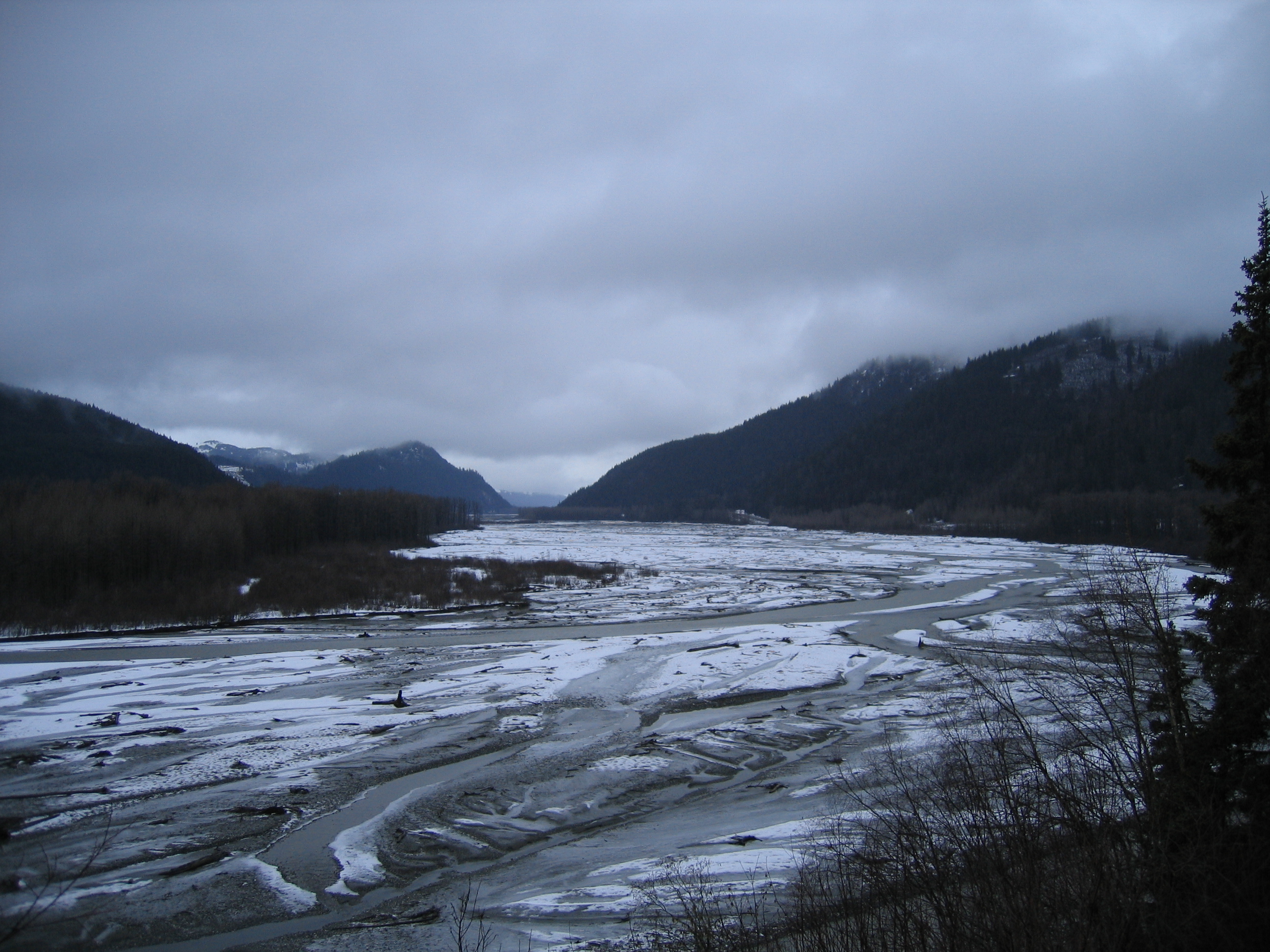
Der Klehini River in der Nähe des Haines Highways
Daten Gewässerkennzahl US: 1423105 Lage British Columbia (Kanada), Alaska (USA) Flusssystem Chilkat River Abfluss über Chilkat River → Pazifischer Ozean Mündung in den Chilkat River 59.41105-135.930948Koordinaten: 59° 24′ 40″ N, 135° 55′ 51″ W
59° 24′ 40″ N, 135° 55′ 51″ W59.41105-135.930948Länge 58 km Der Klehini River ist ein gletschergespeister Fluss in der Panhandle des US-Bundesstaats Alaska, nordwestlich von Haines.
Der Klehini ist 58 lang und entspringt in British Columbia nahe der Grenze zu Alaska. Er mündet bei Wells im Alaska Chilkat Bald Eagle Preserve in den Unterlauf des Chilkat Rivers, dessen größter Zufluss er ist. Die Mündung des Tsirku Rivers liegt 2 km weiter südlich. Der Haines Highway verläuft von der Staatsgrenze bis zur Mündung des Klehini in den Chilkat parallel zum Fluss. Der Klehini River bildet die nördliche Grenze der Chilkat Range, einem Gebirgszug der Alsek Ranges in der Eliaskette.
Weblinks
- Karte des Klehini-Rivers, Alaska Department of Natural Resources (pdf-Datei, 3MB)
Kategorien:- Fluss in Alaska
- Fluss in British Columbia
- Fluss in Nordamerika
Wikimedia Foundation.